Wednesday, May 16, 2007

Ride Report, WY US14 -- Bighorn Moutains

WOW. Majestic... absolutely the best riding, and views ever. The Northern Cascades is a close second, but I have to say that the bighorns win because of the variation in terrain.

We left the motel in the morning and stopped at a turnout just outside of Dayton, WY and unloaded the bikes for the first time since we left Johnson City. Click that Dayton Link and follow 14 southwest through Burgess Junction We had planned originally to take US14A and come back on 14, back to Dayton... but 14A was still snowed over and won't be open until sometime later.
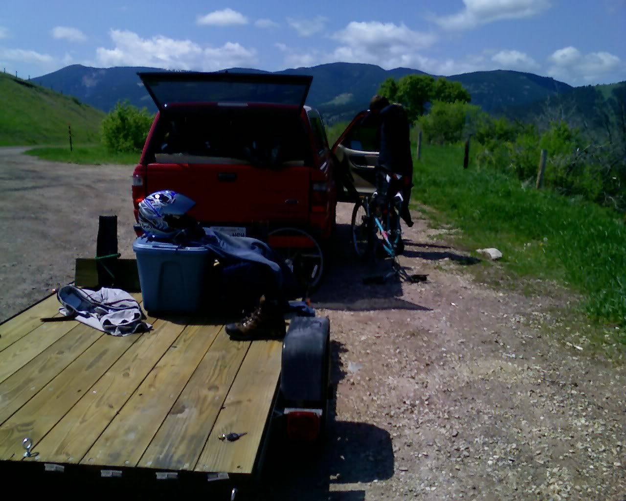
Photo Sharing and Video Hosting at Photobucket

Finally free, off the trailer, ready to ride!
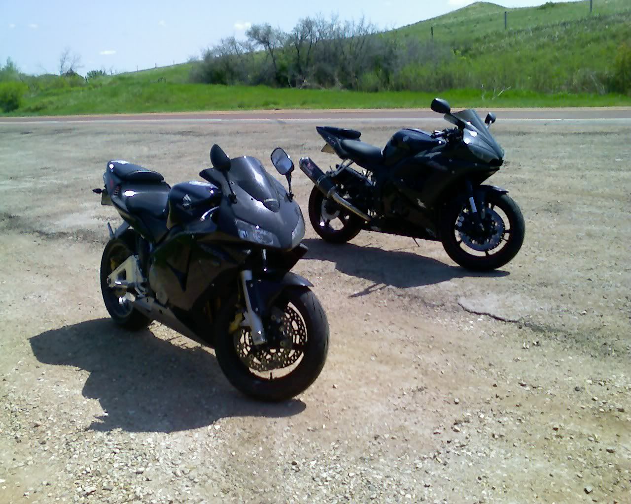
Photo Sharing and Video Hosting at Photobucket

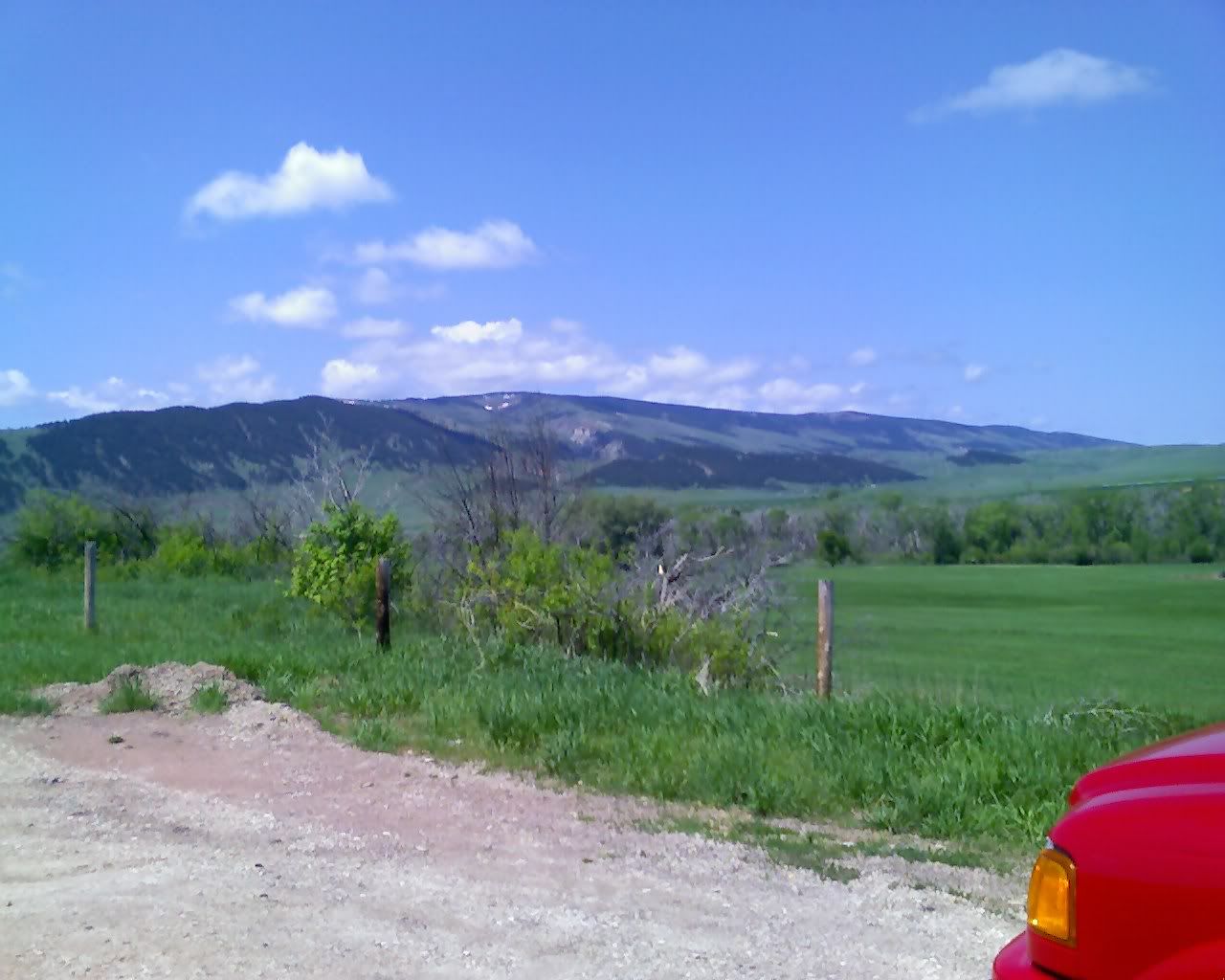
Here's a couple of views from the parking area before we left to ride.
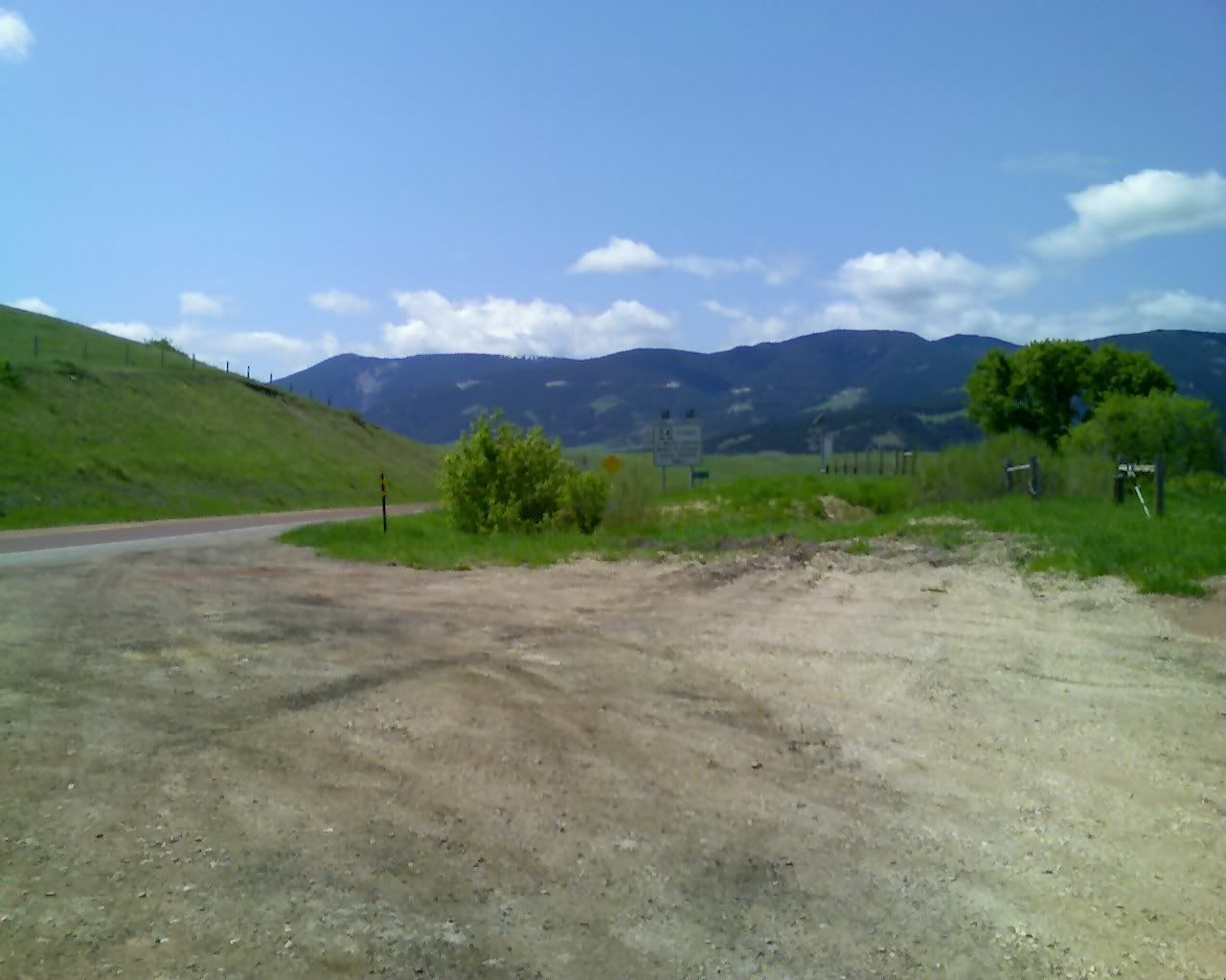
Photo Sharing and Video Hosting at Photobucket

Photo Sharing and Video Hosting at Photobucket

On the other end of 14, in Shell, WY at a little country store. The people there gave us some interesting stares, but were very nice. We got the impression that they don't see too awful many sportbike riders up here, which is too bad -- people really don't know what they're missing!
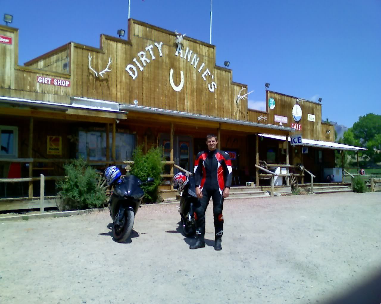
Photo Sharing and Video Hosting at Photobucket

We didn't stop much on the way out to Shell because we planned to come back in the truck and figured that we could get pictures then, this was riding time!

The ride up was pretty wild... it was hard to decide what to do, ride hard and enjoy the bike, or ride slow and enjoy the scenery. It was actually difficult to stay focused on the road on the way up because of the amazing views.

I'd say that the temperature when we left (Dayton sits at about 4000' elevation) was about 70ish... but it was definitely below freezing at the top. The roads were crystal clear, but there was snow everywhere along the sides. Basically the road climbs to 9300', then there's a small decent to around 8000 at Burgess Junction. There's all kinds of 'snow machine' (we know them as snow mobiles) cross-country skiing and snowshoeing resorts up there. On the way back down to the truck after stopping in Shell Dave nearly ran out of gas (he was running so rich that he underestimated his fuel mileage) and we wound up stopping at one of the 'show machine' resorts which, thankfully, had a gas pump.

Dave, pointing out the canyons in the distance.
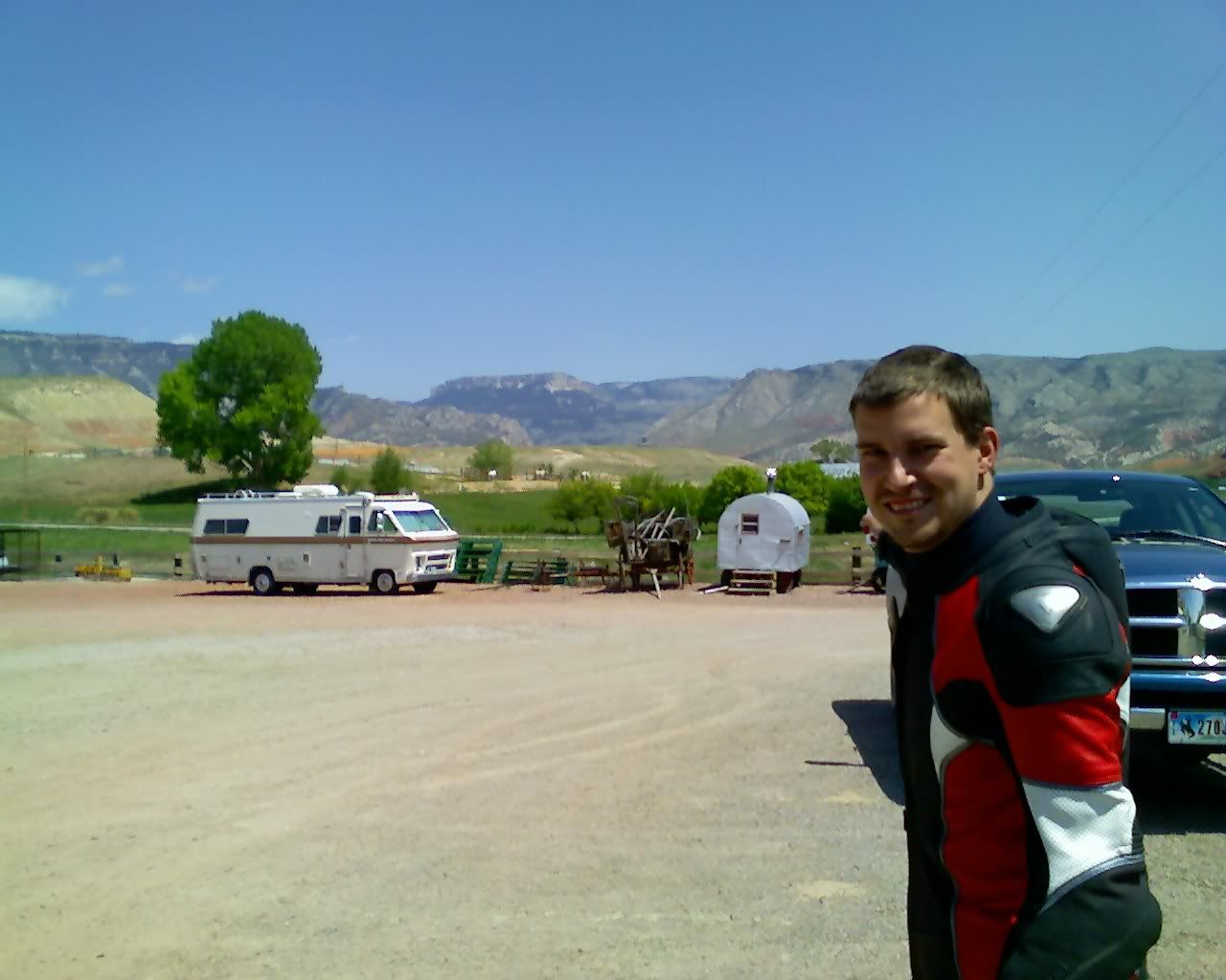
Photo Sharing and Video Hosting at Photobucket

A pic from the highest point on 14 from Dayton to Shell, WY... nearly 9300 ft (the bikes were running a bit rich).
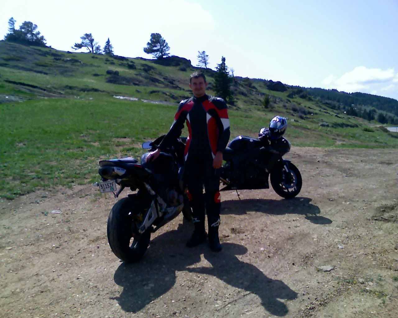
Photo Sharing and Video Hosting at Photobucket

Yes, both knees have been firmly planted in Wyoming :)
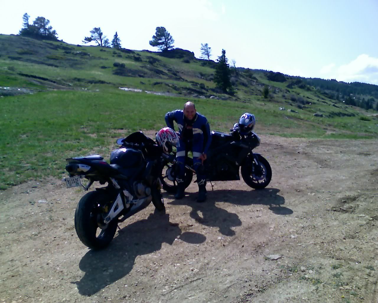
Photo Sharing and Video Hosting at Photobucket

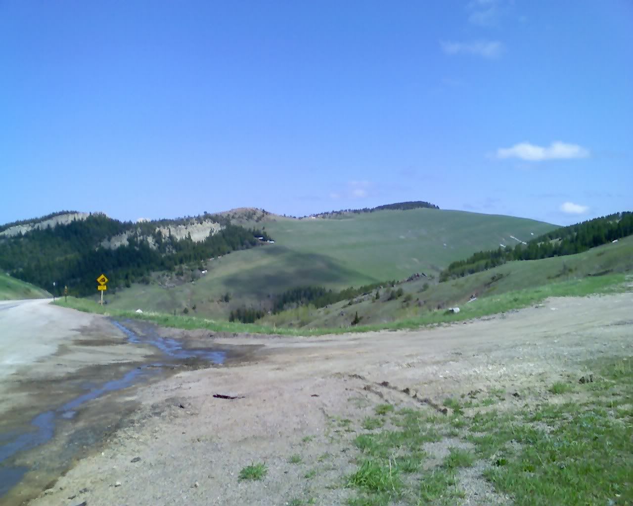
Neat pic, the sign kinda puts things into perspective.
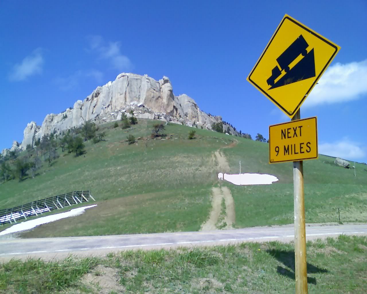
Photo Sharing and Video Hosting at Photobucket

Begin bighorn views...
Photo Sharing and Video Hosting at Photobucket

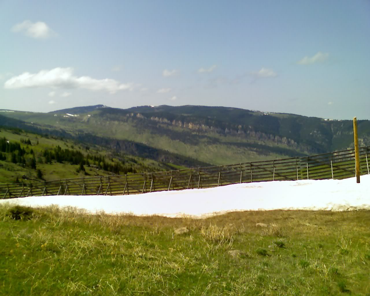
There were lots of these up... they block snow drifts and help to keep the roads clear during winter.
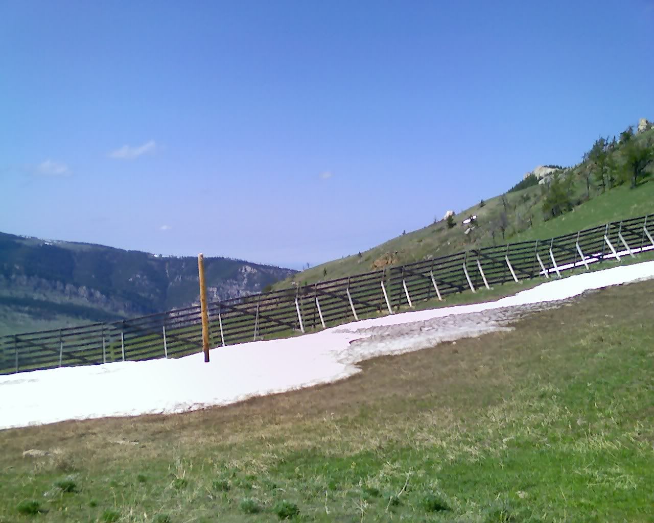
Photo Sharing and Video Hosting at Photobucket

Photo Sharing and Video Hosting at Photobucket

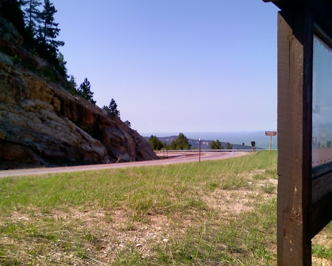
The local school system does geology field trips up here. We heard a bit of lecture while we were there.
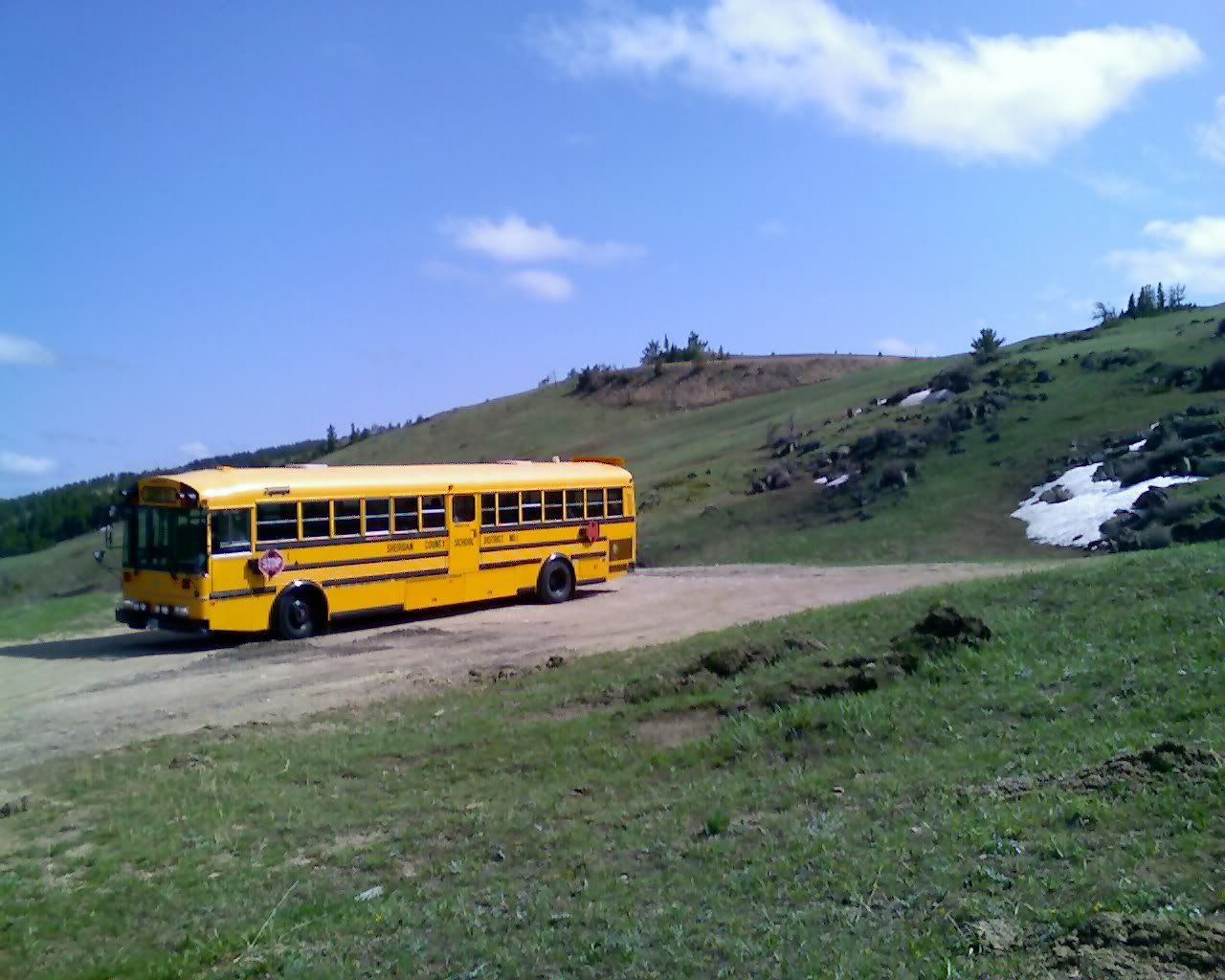
Photo Sharing and Video Hosting at Photobucket

Photo Sharing and Video Hosting at Photobucket

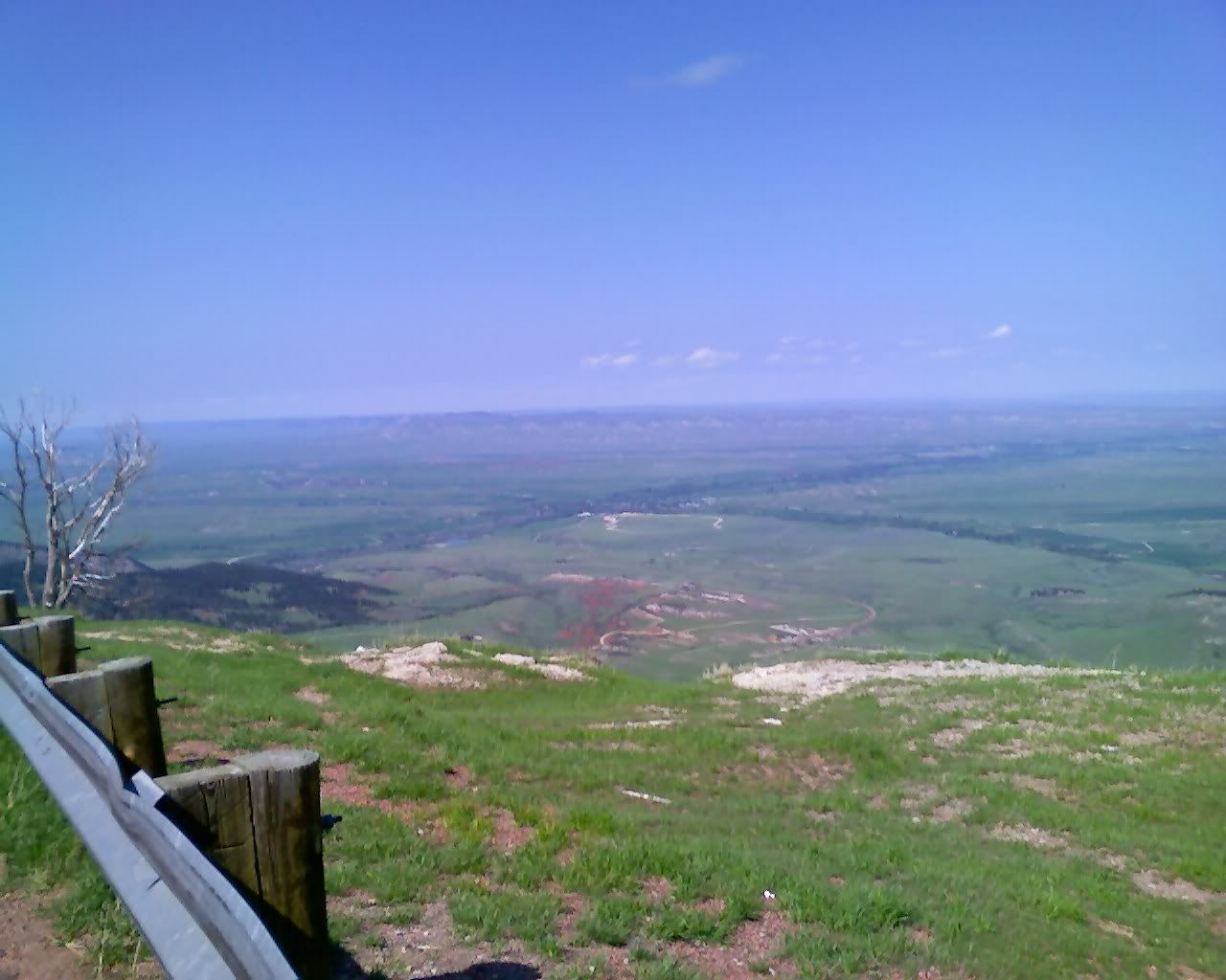
Amazing panoramic views. From here we were able to see nearly the entire last day of travel!
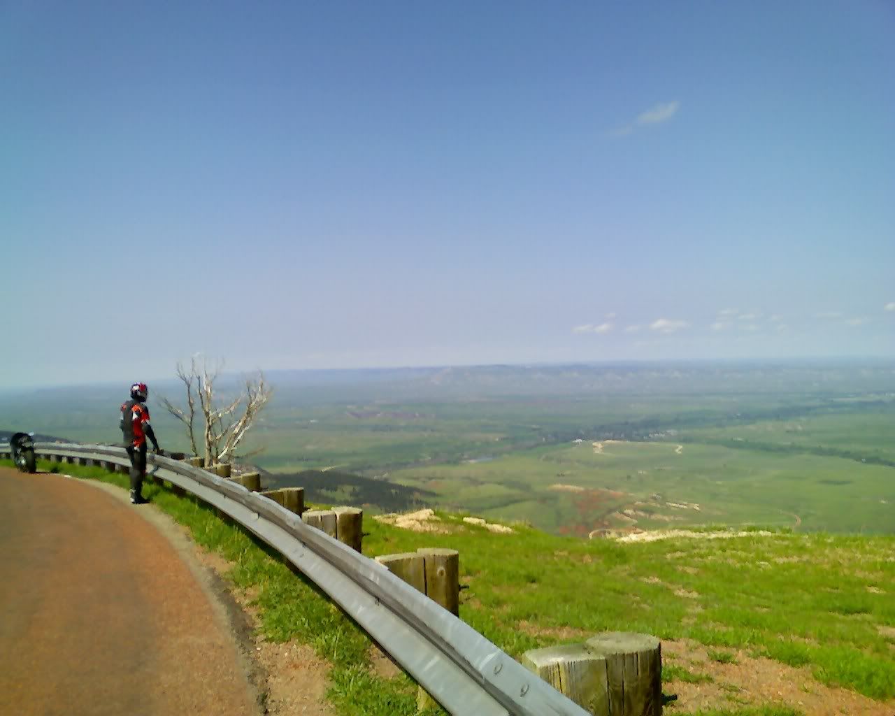
Photo Sharing and Video Hosting at Photobucket

Photo Sharing and Video Hosting at Photobucket

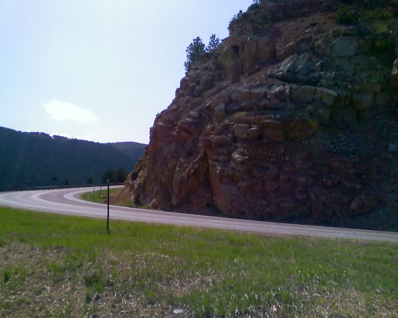
Very nice sweepers...
Photo Sharing and Video Hosting at Photobucket

Photo Sharing and Video Hosting at Photobucket

Before we loaded up the bikes we changed out of the leathers and headed back into Dayton for dinner. There was a nice little diner that served the absolute best enchilada I've ever had.... and Dave had his usual burger and fry combo. We were the only customers in the whole diner and the staff was really friendly. They were flying around little indoor remote control helicopters!

Oh well, full bellies and totally thrilled about the day we headed back to the truck (which had now been parked in the same spot for almost 6 hours) to load up the bikes.
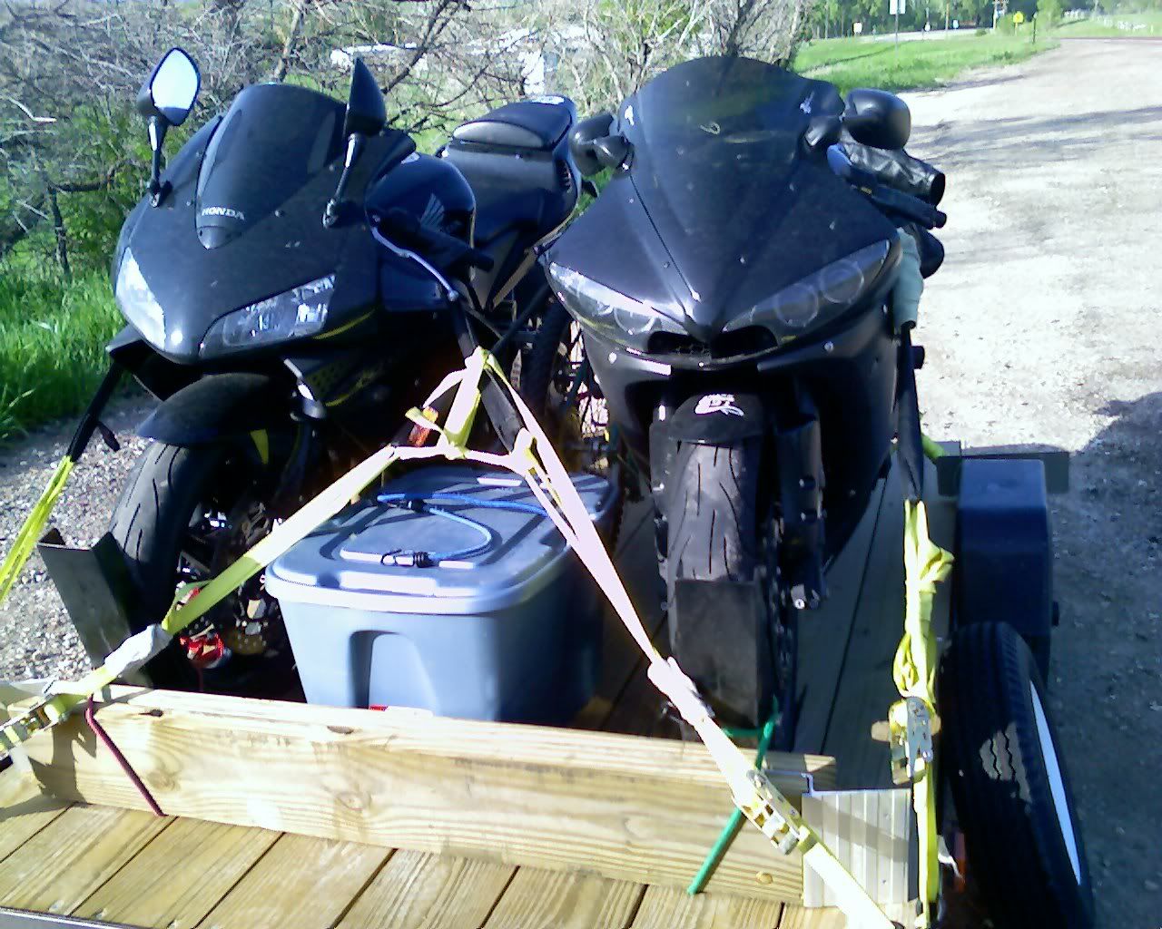
Photo Sharing and Video Hosting at Photobucket

Headed back over to Shell in the truck, loaded down. Notice the road -- ya, we were there just a few moments ago.
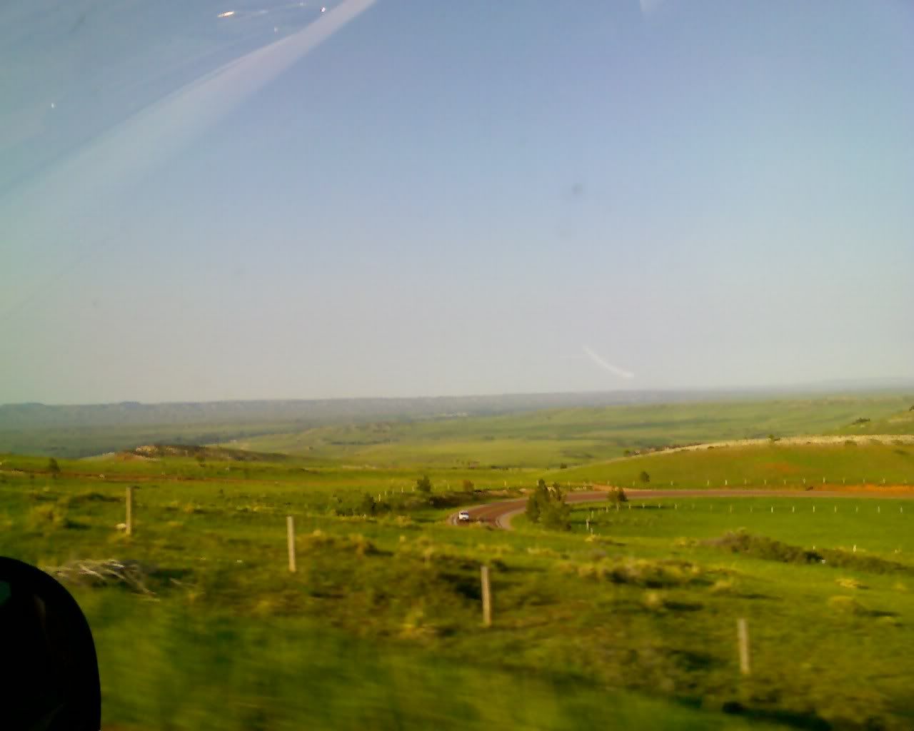
Photo Sharing and Video Hosting at Photobucket

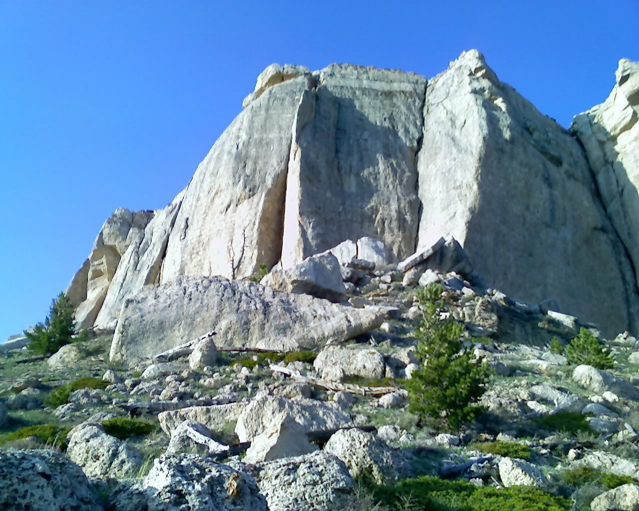
So remember the picture of that rock w/ the sign? We decided to hike a bit toward that rock... you can just make out the truck at the bottom of the hill.
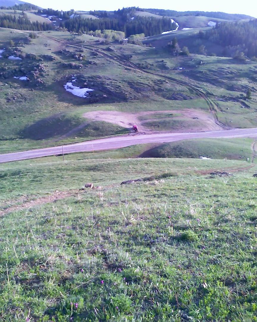
Photo Sharing and Video Hosting at Photobucket

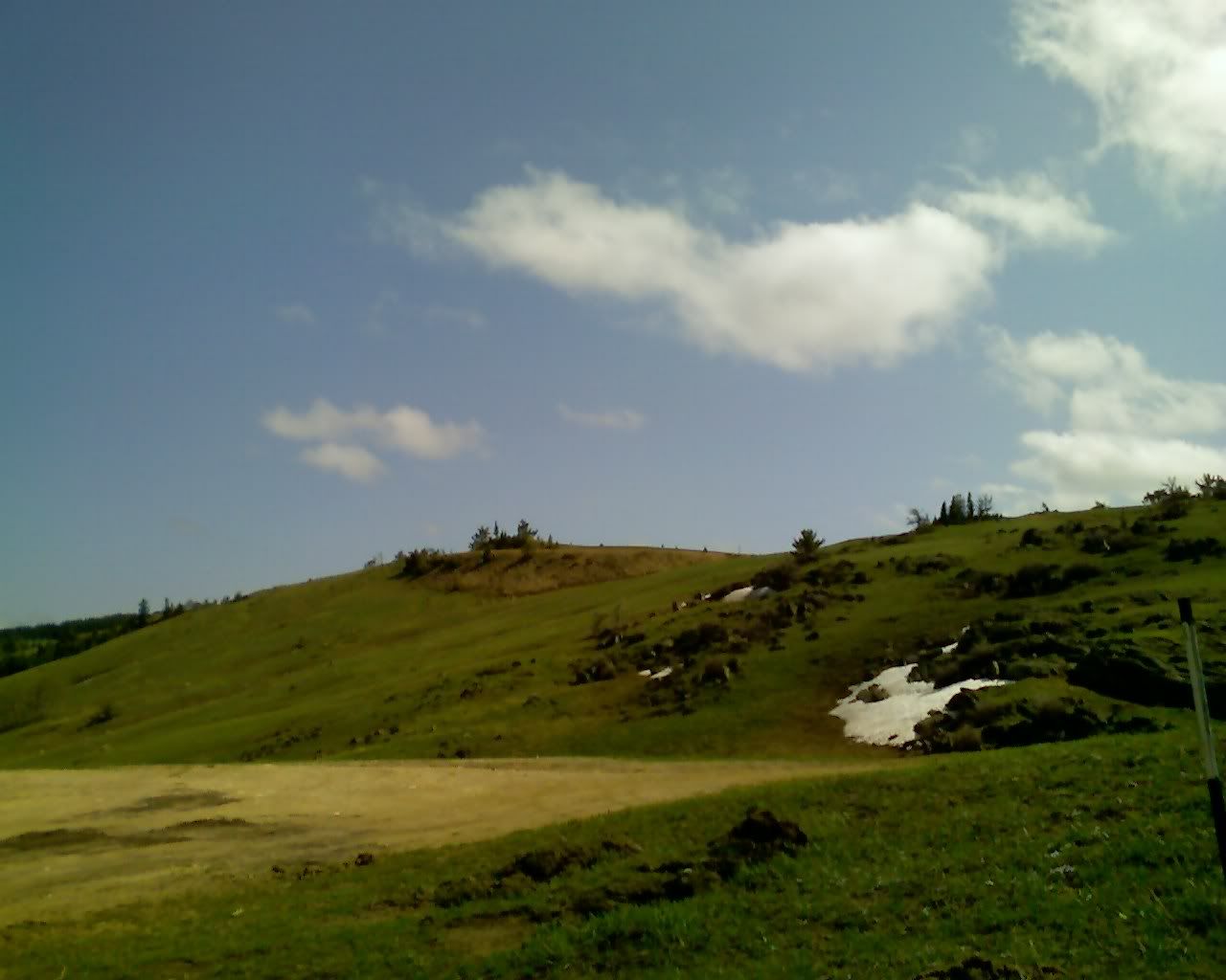
Another, from a bit further up.... truck's a bit smaller now :)
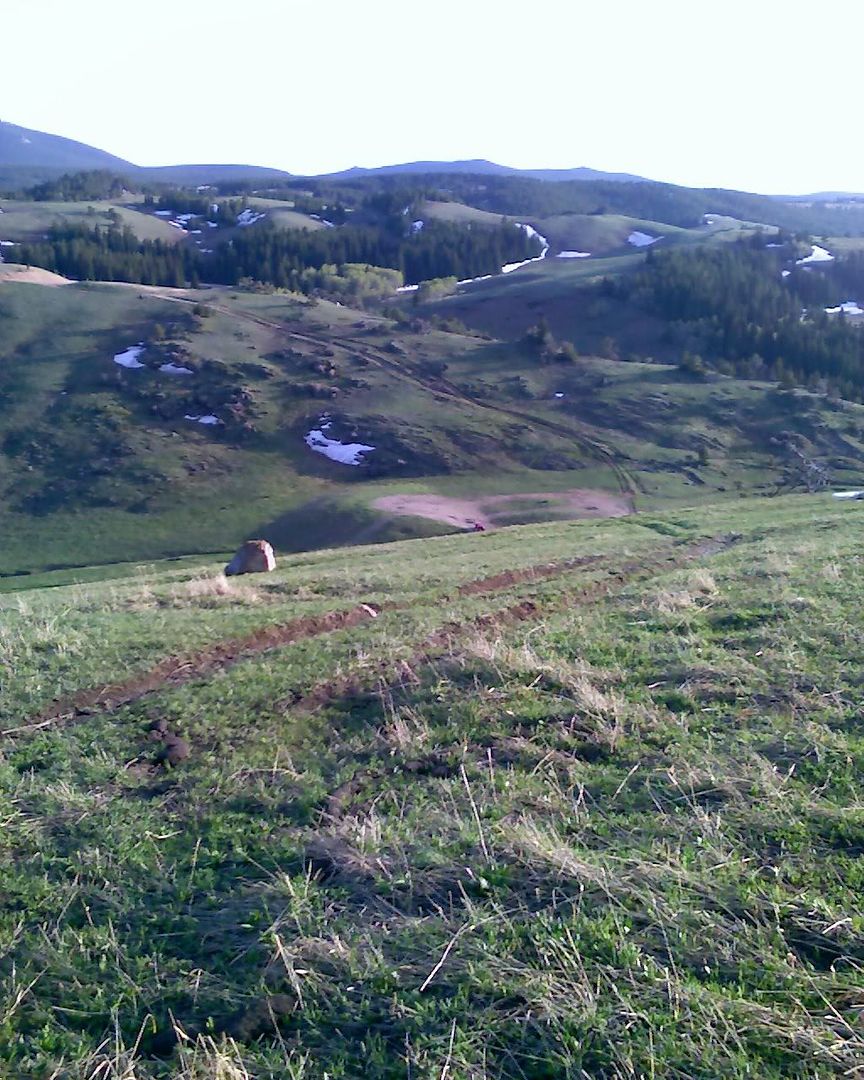
Photo Sharing and Video Hosting at Photobucket


Guess I should get ready to duck!
Photo Sharing and Video Hosting at Photobucket

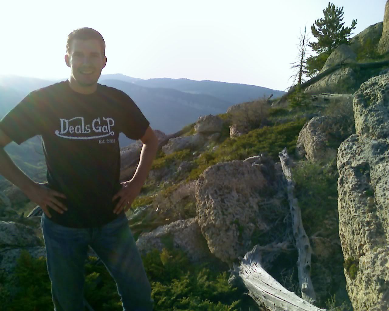
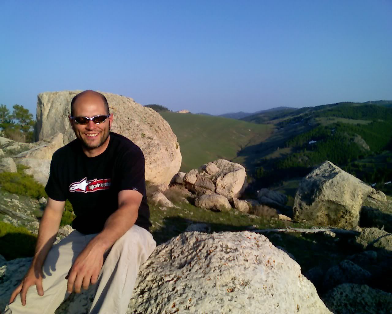
Here's some views from the top -- well, as far up as we were willing to hike that day.
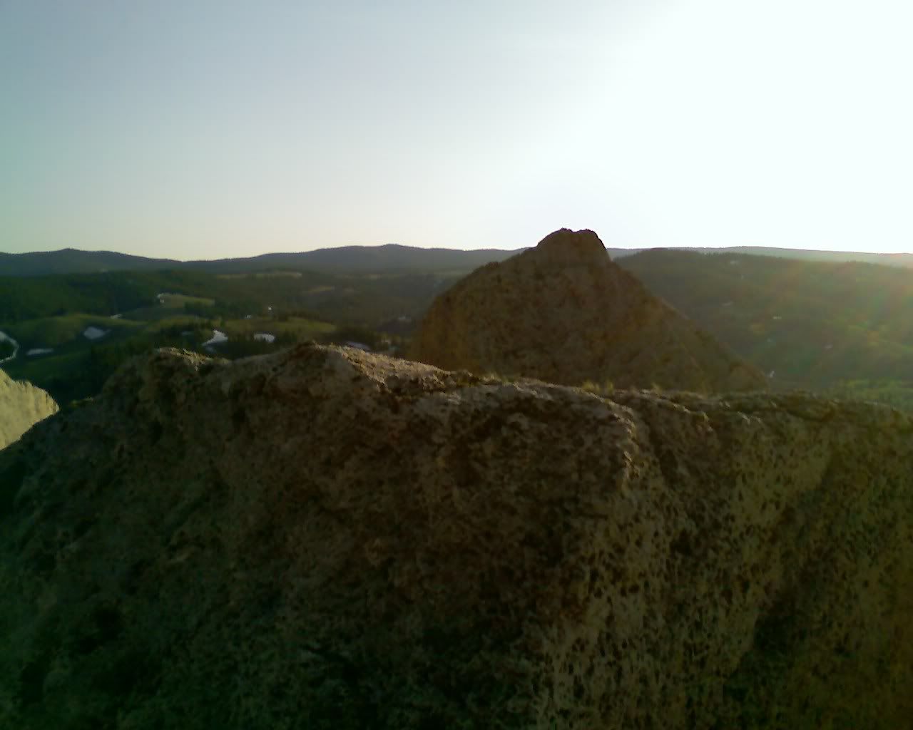
Photo Sharing and Video Hosting at Photobucket

Photo Sharing and Video Hosting at Photobucket

Dave.
Photo Sharing and Video Hosting at Photobucket

Me.
Photo Sharing and Video Hosting at Photobucket

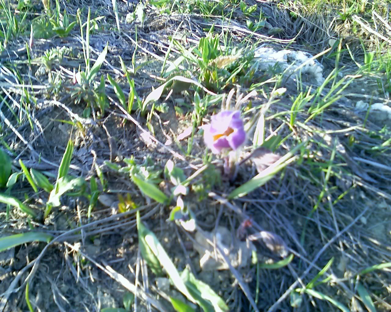
These were all over the hillside.
Photo Sharing and Video Hosting at Photobucket

Dave got creative and figured he'd found his 'purple lotus' (yes, the flower from batman begins grasshopper)
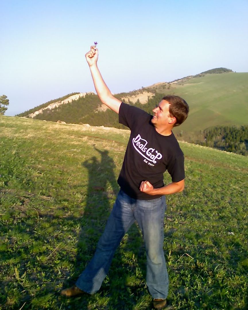
Photo Sharing and Video Hosting at Photobucket

A few views from the pickup.
Photo Sharing and Video Hosting at Photobucket

Anyone for a swim?
Photo Sharing and Video Hosting at Photobucket

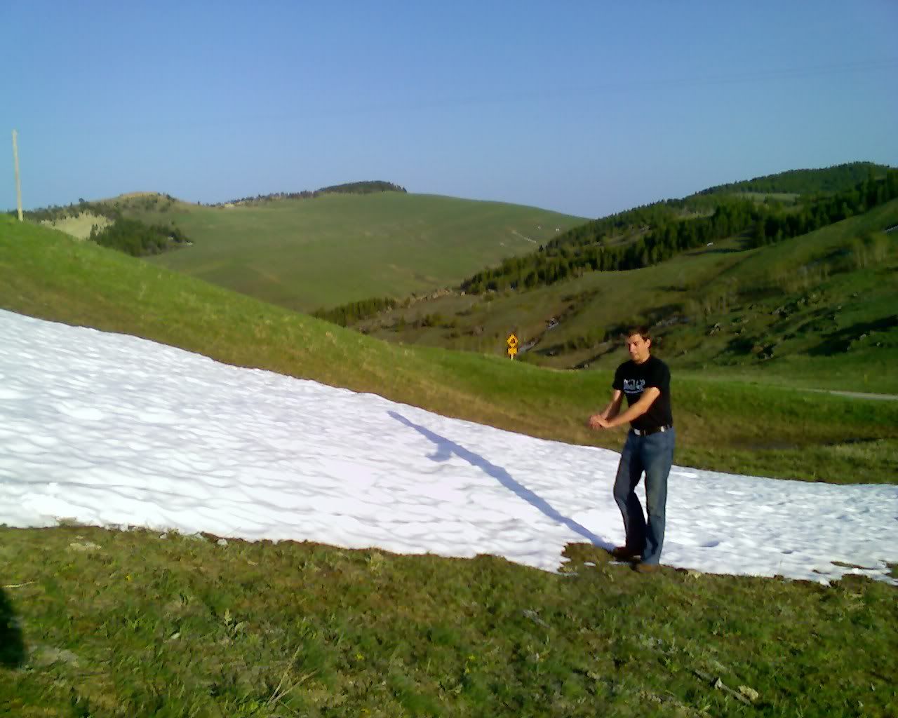
There was snow everywhere ...
Photo Sharing and Video Hosting at Photobucket

So, one would think a ski resort would be a good idea... but this one closed down. It would seem that cross-country, 'snow machines', and snow shoeing own the market and no one out here likes downhill skiing.
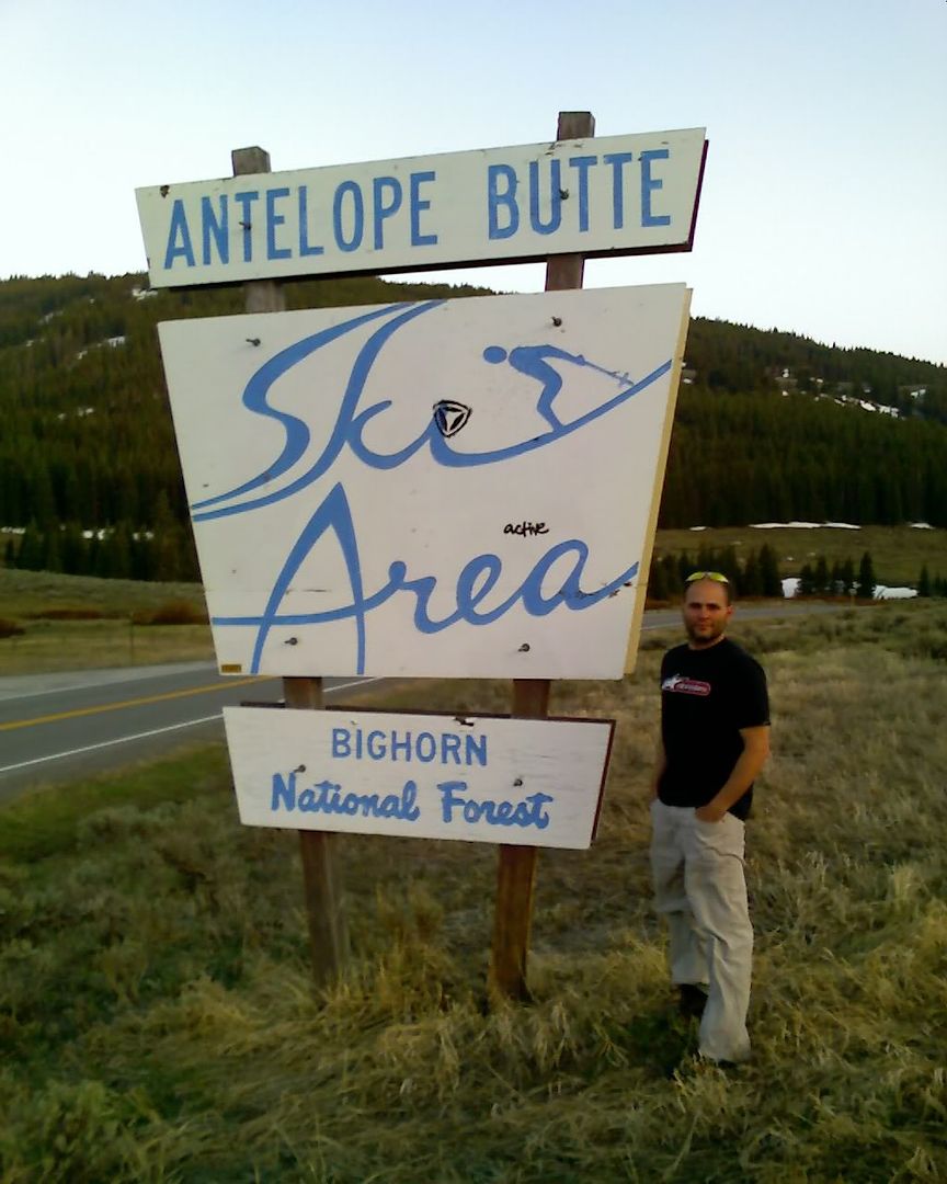
Photo Sharing and Video Hosting at Photobucket

As it turned dusk the Mule Deer started to come out of their hiding spots. They were EVERYWHERE!! Thankfully they weren't around earlier while we were running through there on the bikes! We were going really slowly in the truck anyway, so the deer were a welcome diversion.
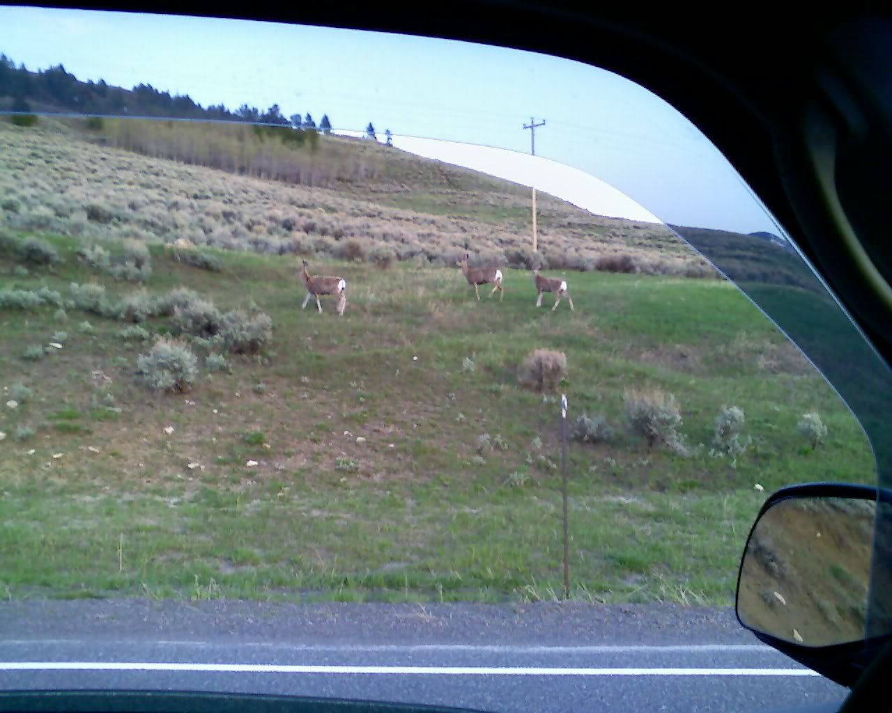
Photo Sharing and Video Hosting at Photobucket

The ridgeline as you enter the canyon is a real sight...
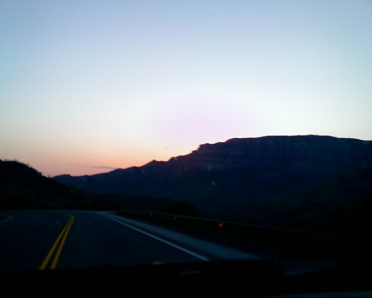
Photo Sharing and Video Hosting at Photobucket

Ya, left knee, right knee -- nice road.
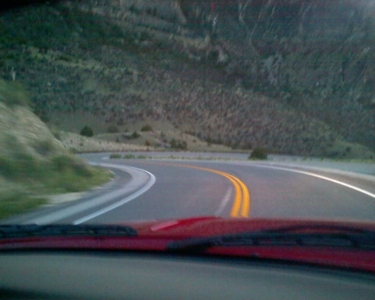
Photo Sharing and Video Hosting at Photobucket

Another nice turn, there were plenty of these to be had.... now, let's see, scenery - or road :)
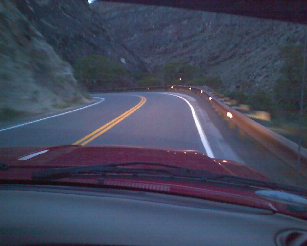
Photo Sharing and Video Hosting at Photobucket

You can see the river responsible for carving the wonderful canyon that we're in off to the right. There were actually some really amazing falls further up the hill, but it was too difficult to get a shot as the visitor's center (and hence the trails that led to a decent viewing area) was closed.
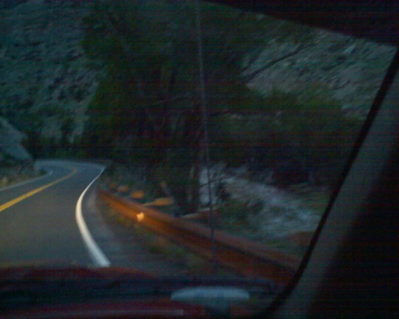
Photo Sharing and Video Hosting at Photobucket

These are so hard to get used to. They're up all over the state -- whenever a road is closed due to weather or other impassible condition these gates will come down.... like railroad crossings back east :)
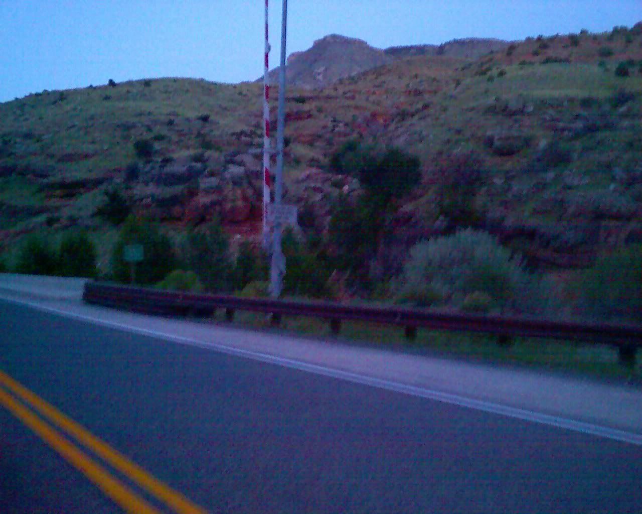
Photo Sharing and Video Hosting at Photobucket

Well, we made it over the bighorn mountains with the bikes. I must say that my little pickup truck has been doing extraordinarily well considering the terrain out here, and the load that I've got on it. I'm impressed.

Anyway, we've stopped in Graybull, WY about 171 miles or so east of Old Faithful, in Yellowstone park and tomorrow the plan is to head to Cooke, WY just outside of Yellowstone and ride down and see the Old Faithful geyser tomorrow. If we have time we'll head for the Tetons, otherwise we'll do that on Friday.

The little motel that we're staying in tonight is swell. The fella that works the counter used to ride a 900RR before he bought his Harley and gave us a sweet map of the park, recommended several routes, and told us about all the road closures. Unfortunately, it seems as though we're just a bit early for what everyone around here has been telling us is 'the most scenic road in all the US'. Oh well, maybe another time.

Tired, I'm off to bed now. Goodnight everyone, sleep tight!

Tuesday, May 15, 2007

Leaving Motel 6

Woke up this morning and looked out the window on a panorama of snow-capped mountains, none of which were visible last night as we pulled into the hotel.


... and we're off to the first riding destination, US14 through Yellowstone... and Dave just reminded me that "with thunderstorms behind us, and ahead of us, it's nice and sunny here!"

Anyway, with the weather so nice... and an awesome road ahead of us, it's time to pull out the bikes and ride!

Motel 6.. a few hundred miles further west... tired.

Wow, it was getting sooooo cold when I finished that last post that I could hardly type. So some of the stories from the last post were somewhat truncated. Now, sitting inside Motel 6, in a little town called Sheridan, nice and warm, I'll try to complete the tales -- no additional pics here though, after dark my little camera phone just doesn't operate at all.

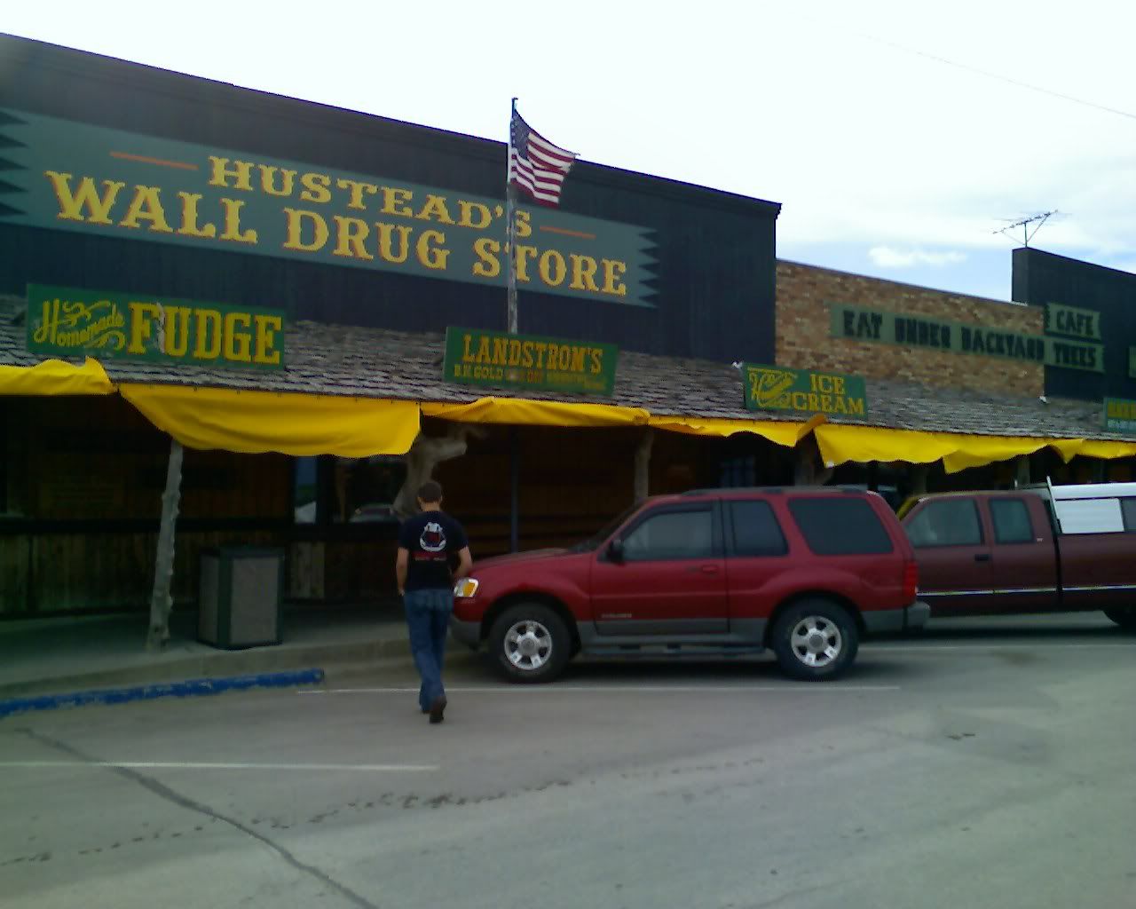
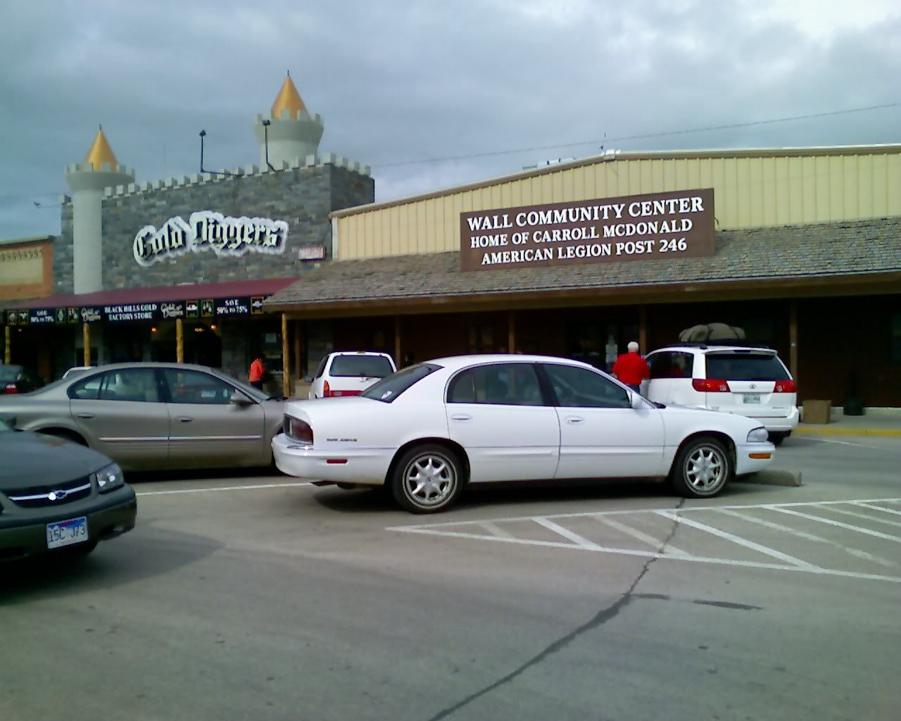
The little town / drug store:
We were really caught off guard with this one. Like I said below, there were signs all over the sides of the road as soon as we entered the state, but they were all cheesy, touristy kinds of signs. We really didn't even plan to stop, but we were on about 1/4 tank at the time we passed by and decided 'what the heck, a little food and a short stop, so long as they don't ask for money to get in the door!'

Segway -- there was a little 'ghost town' that we'd stopped at to fill up a couple hours earlier -- $12 bucks per adult admission. It was a pretty cool little town, but not really authentic. The buildings were authentic, moved from all over the state apparently, but the town they had setup was fake..... and at $12 bucks per it just wasn't worth the (what looked from the outside to be about) 30 minute detour.

Anyway, so this town was a total surprise, a little oasis you might say. They whole town closes down for about 3 months each winter (Jan, Feb, March). We spoke with a very nice Mother and daughter who owned a coffee shop (best coffee on the whole trip so far) who said that they usually travel during that time. The daughter had just come back from a tour of Austria and had a Salzburg t-shirt on. She told us about the 'Sound of Music' tour that she went on, and all about the classical music history of the area. Very nice folks.

That place was FULL to the brim with old-west pictures and history. If any of you are ever out here, plan to stop for a while... well worth it, despite the 'touristyness' of the place. Oh... I mentioned earlier the town's population, and how nearly half the town works at 'Wall Drug' (basically the town IS Wall Drug).... turns out they also have a great deal of housing and hire about 60 college students during the summer months to help with the extra business! Not a bad place to spend the summer - great hiking in the badlands.

Oh.. the wind through this place is FIERCE -- so much so that it could almost support me leaning into it! One had to be careful opening and closing doors (especially my truck doors) depending on how they were situated. That wind is mostly due to the lack of trees. There are basically only large rolling hills as far as the eye can see in any direction, no trees or other abrupt changes in landscape.
All I can say about this area is CONSTANT PANORAMIC ECSTASY! Even through eastern Wyoming (at least as far as we got while it was daylight) the view has always been amazing.

Driving at night is also crazy... I got into it a bit, but it's worth mentioning again -- DARK -- Dave and I were joking that it reminded us of that scene at the end of Terminator 2 where they are rolling down the dark highway saying something like 'the future is not set... we control our destinies... blah blah blah'. It's so dark out that when your headlights hit reflectors, you can literally see the beam reflect back onto the road! Weather patterns and distant cities can usually be seen from almost 70 miles.

Heh, speaking of weather -- it started to rain on us while we were at Mt. Rushmore. Thankfully we'd already finished looking at the monument. They have a little trail that runs around it, with signs that talk about each of the presidents depicted, the workers, the original designer and his son, and some of the methods used in it's construction... I never knew that there was a 'hall of records' behind / underneath the monument. Original plans called for a large 800 foot staircase to allow public access... but that section was never fully completed. The hall was meant to store important documents, but has never really been used for that purpose, nor is it viewable or in any way accessible by the public.

Oh well... off to Devils Tower.....

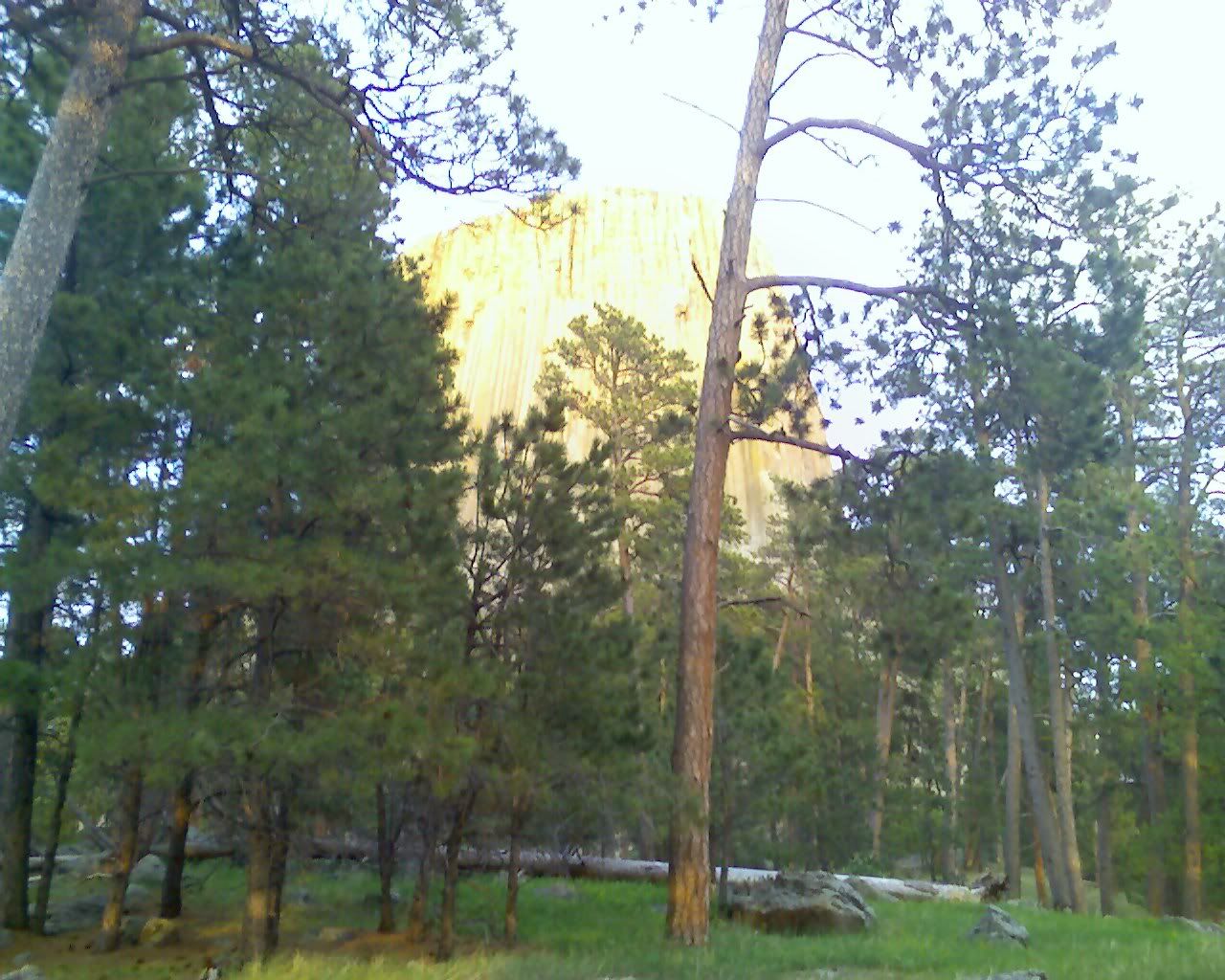
... which was MUCH cooler. In my opinion (and Dave's) the coolest stop thus far. There was a small entry fee, $12 I think, and a long road that wound around the base of the tower up to a visitor's center (which had just closed when we arrived). While it is on sacred Native American ground, they do allow you to 'boulder hop' to the base...... these boulders are HUGE by the way and you could spend a fair part of the day just climbing about on these.... going any further however (up the spire) requires registration (and one heck of a constitution... 876 feet straight up!)

Oh, as we approached the tower we noticed LOTS of prairie dogs along either side of the road. We had hoped to get some pictures of the little fellas, but because we were later arriving at the tower than expected we wanted to get up and hike around it first... and the dogs were all gone by the time we descended.

Leaving Mt. Rushmore we wound up connecting back up with I90 W just before branching off onto (don't quite remember if it was 14 or 16). Had we been a bit more intelligent we would have unloaded the bikes somewhere around I90 and rode up to the tower. The roads leading there were incredible, all banked just right, fantastic elevation changes (and the fees for parking were cheaper for motorcycles!). But, since it had been raining (100+ miles behind us) and it was a bit chilly out, we were glad that we didn't. Especially after the sun went down because the temperature really dropped off!

Anywho, it's Dave's birthday tomorrow.... so I'm going to let him sleep in a bit, maybe 'till 9 or so (he's notorious for sleeping until mid-afternoon if left un-stirred). Happy Birthday Bro!

Monday, May 14, 2007

South Dakota and Eastern Wyoming

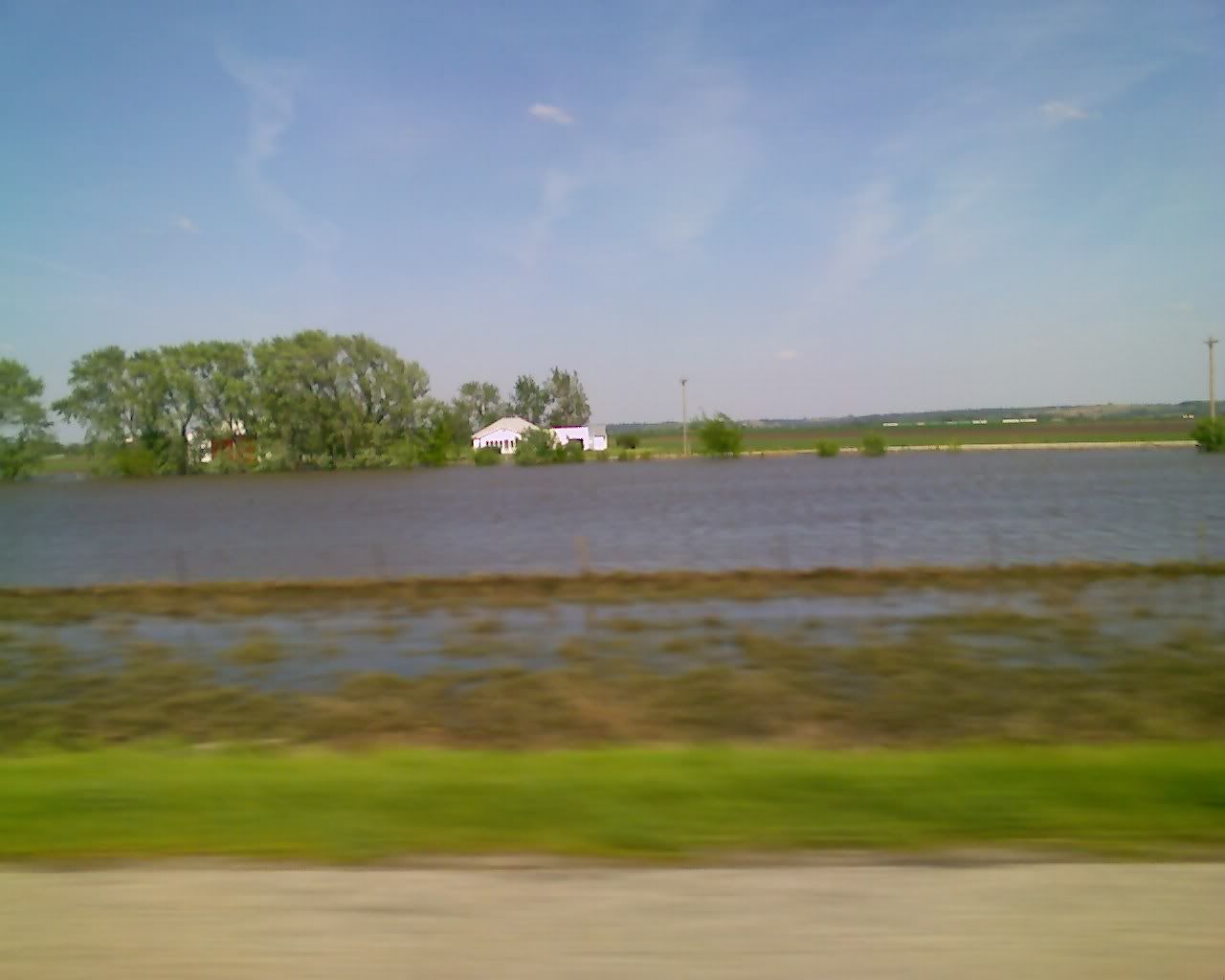
Well, turns out that Dave and I were both totally wrong about the 'irrigation' systems that we thought we were seeing throughout MO and Nebraska. The attendant at the last motel we stayed at said that there was severe flooding in those areas and that if we had been traveling through there only a few days earlier that we would have witnessed the complete inundation..... and I thought that shell station and minivan were underwater on purpose :)

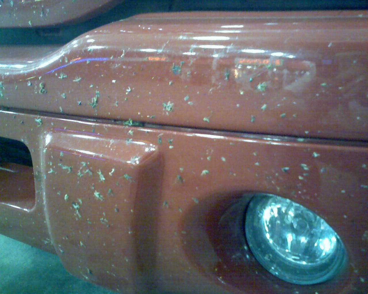
Anyway, the drive through South Dakota was AMAZING! Most of the state was all rolling green hills as far as the eye could see. As it got dark the bugs started to make their way out..... it seemed for a while as though it was pouring rain, but it was more like a locust migration.
Photo Sharing and Video Hosting at Photobucket

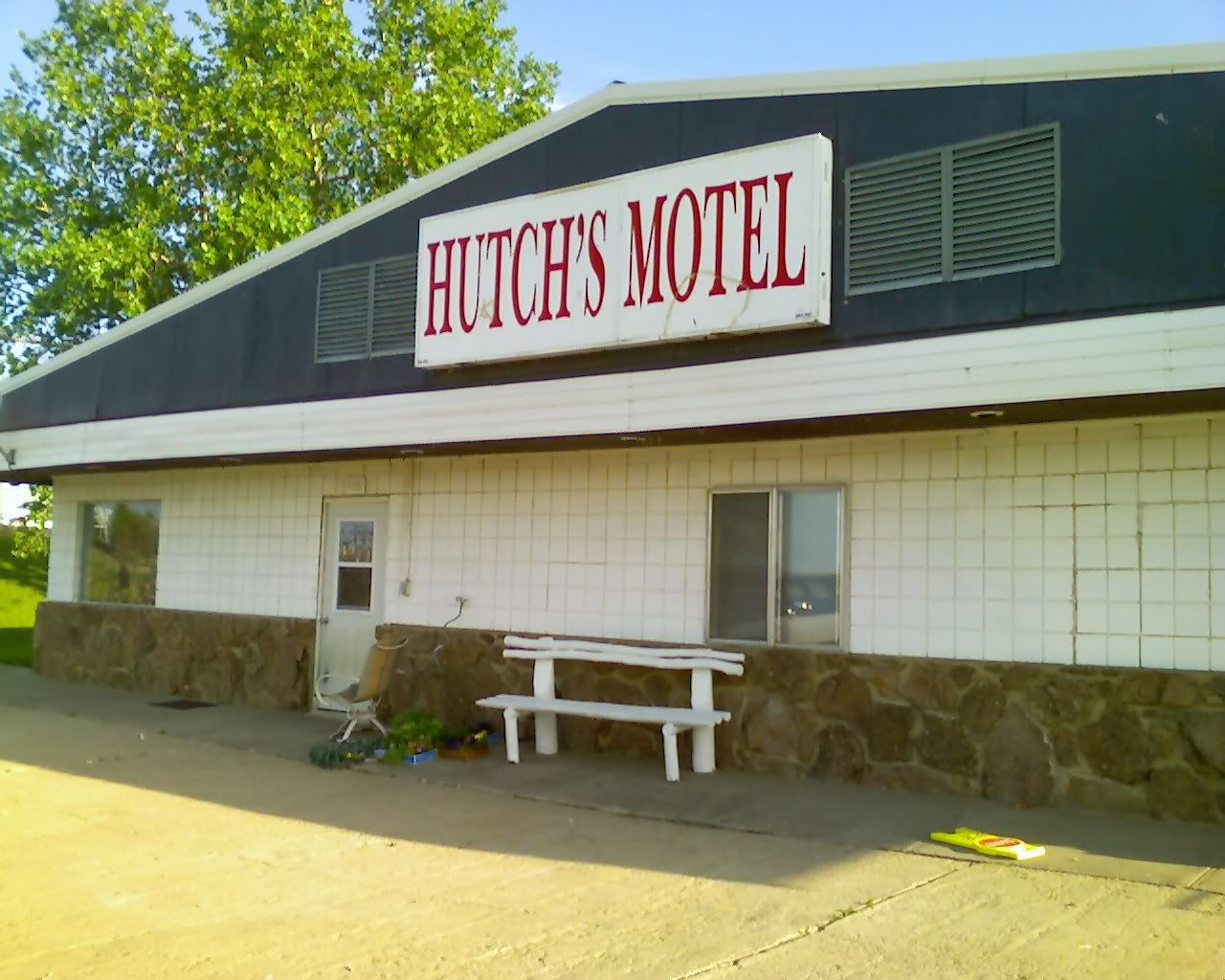
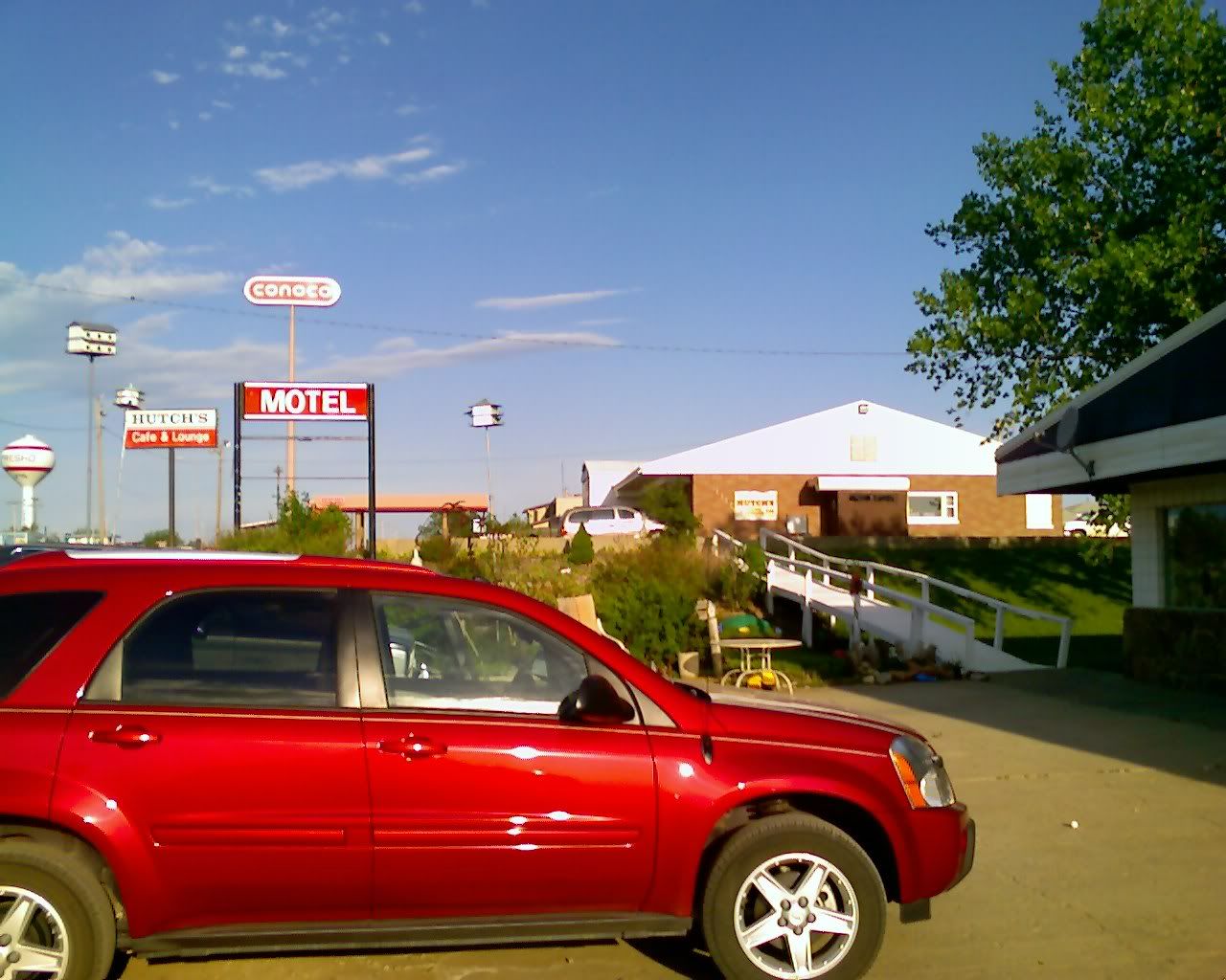
We drove for a while after it got dark, hoping to make the small town of Murdo... but didn't quite get there. We stopped along the highway at a little motel whose sign was only visible by reflective tape lettering. Turns out that there are very few lights anywhere out here except in larger towns. Everything else is done w/ reflective tape. Very cool... everything gets really bright, and the eyes adjust really quick.

Photo Sharing and Video Hosting at Photobucket

Looking left up the road from the motel...
Photo Sharing and Video Hosting at Photobucket

Anyway, this little motel was something -- not bad mind you, nowhere near as bad as the last motel. Although, the fella behind the desk was totally plastered drunk and we had some problems understanding a word he said.... but the rooms were HUGE and quite clean. Turns out there was a high-school graduation that night or something, so everyone was partying (all 3 of them .. lol)

The next morning made for much better views of everything... we managed to get on the road right at 8am... the same views from before:
Photo Sharing and Video Hosting at Photobucket

As we drove through South Dakota we kept seeing all manner of crazy signs for this place called 'Wall Drug'. Signs would read "As told by Time Magazine" or 'Reader's Digest' or.. "5c coffee"... or "Free Doughnuts for Hunters or Veterans". Turns out that this place gets nearly 15 thousand visitors per day during their peak summer season.... and they have their signs all over the globe... there were pictures up in this little, well, what really was the town of wall, of people carrying their wall drug signs on the great wall of china! The town has nearly 400 residents... 280 of which work for Wall Drug, the only pharmacy for over 6000 square miles! Now that's a long way to go for an Asprin!

Photo Sharing and Video Hosting at Photobucket

Sorta funny.... the bathroom stall I was in had Tennessee scrawled on it (among many other things)
Photo Sharing and Video Hosting at Photobucket

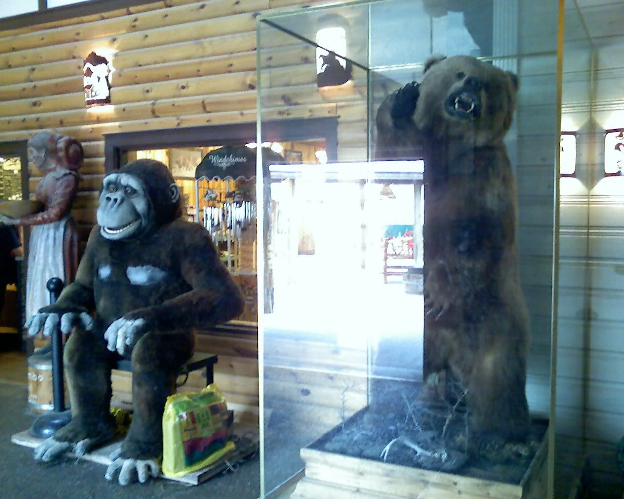
They had all kinds of stuff there...
Photo Sharing and Video Hosting at Photobucket

Photo Sharing and Video Hosting at Photobucket

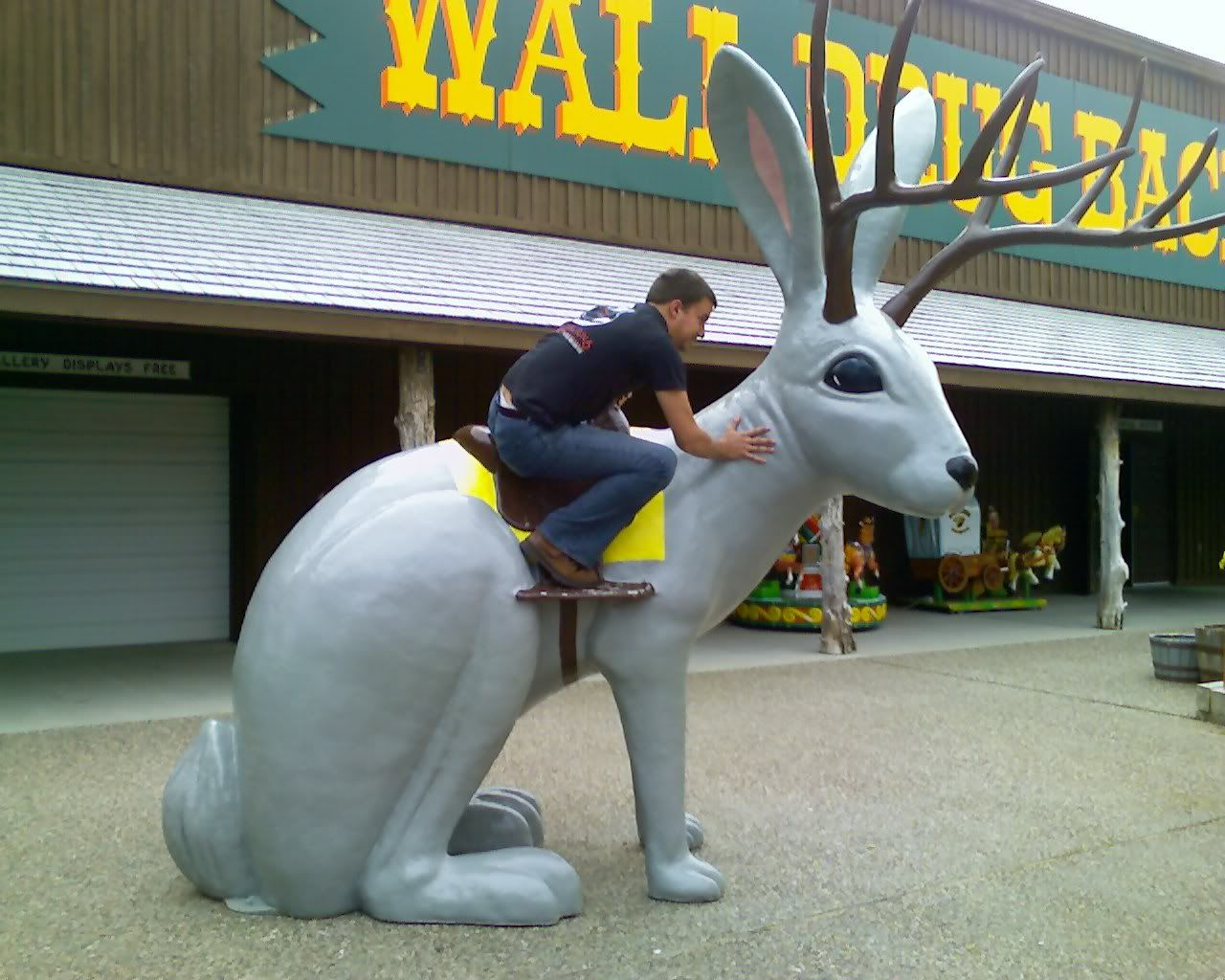
Dave, trying to get a knee down from the Jakelope :)
Photo Sharing and Video Hosting at Photobucket

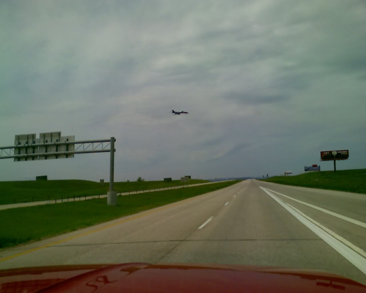
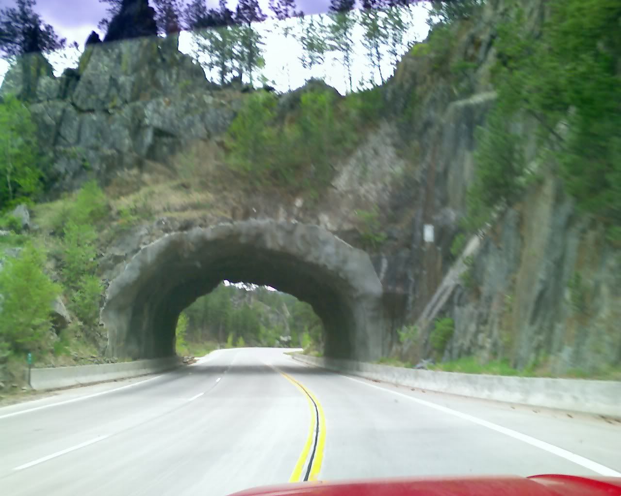
And now for some views from the interstate on the way to Mt. Rushmore....

There were a few B1 bombers flying overhead from a nearby AF base.
Photo Sharing and Video Hosting at Photobucket

Photo Sharing and Video Hosting at Photobucket

Backbone rock anyone?
Photo Sharing and Video Hosting at Photobucket

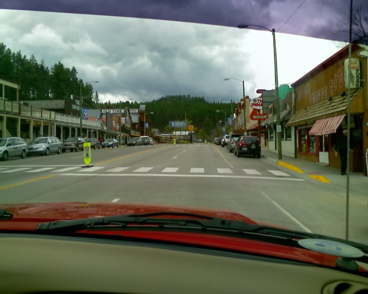
Neat little town
Photo Sharing and Video Hosting at Photobucket

Photo Sharing and Video Hosting at Photobucket

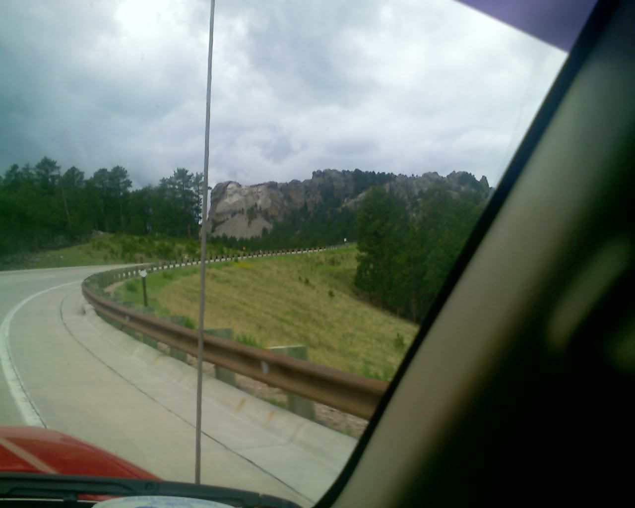
Up the hill to Rushmore.
Photo Sharing and Video Hosting at Photobucket

Nice views...
Photo Sharing and Video Hosting at Photobucket

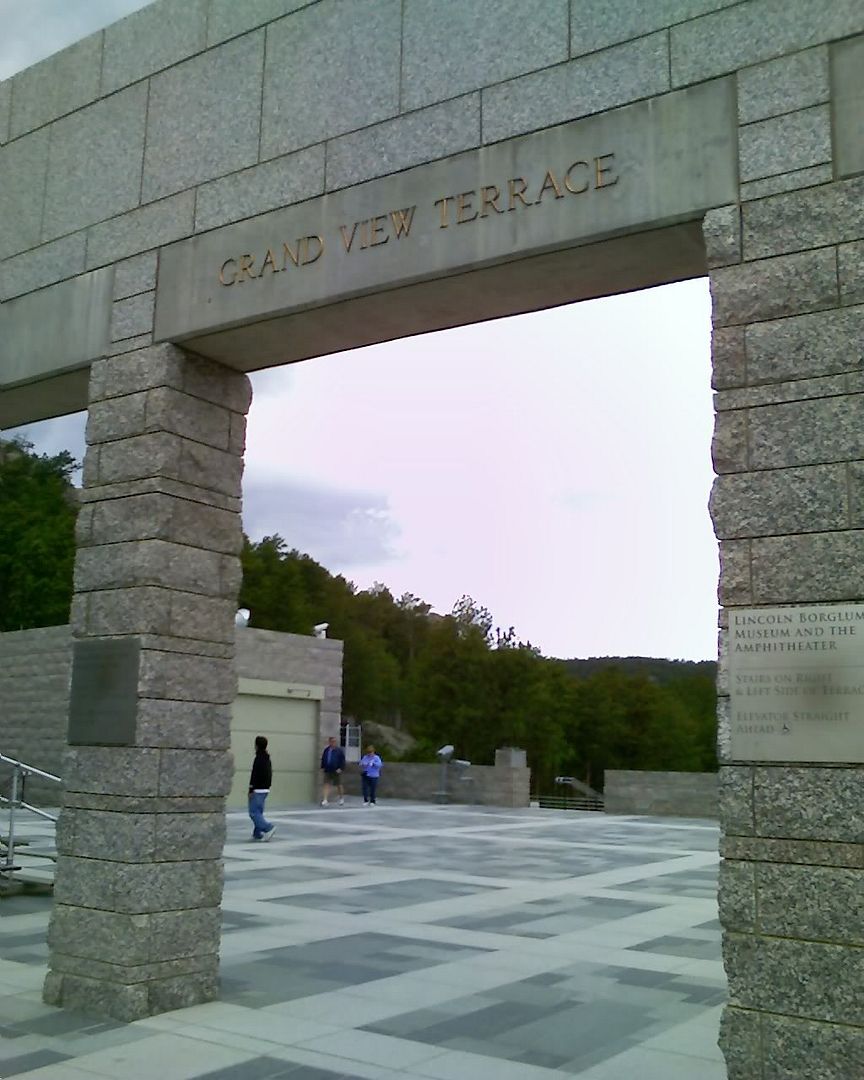
Begin rushmore pics.
Photo Sharing and Video Hosting at Photobucket

Photo Sharing and Video Hosting at Photobucket

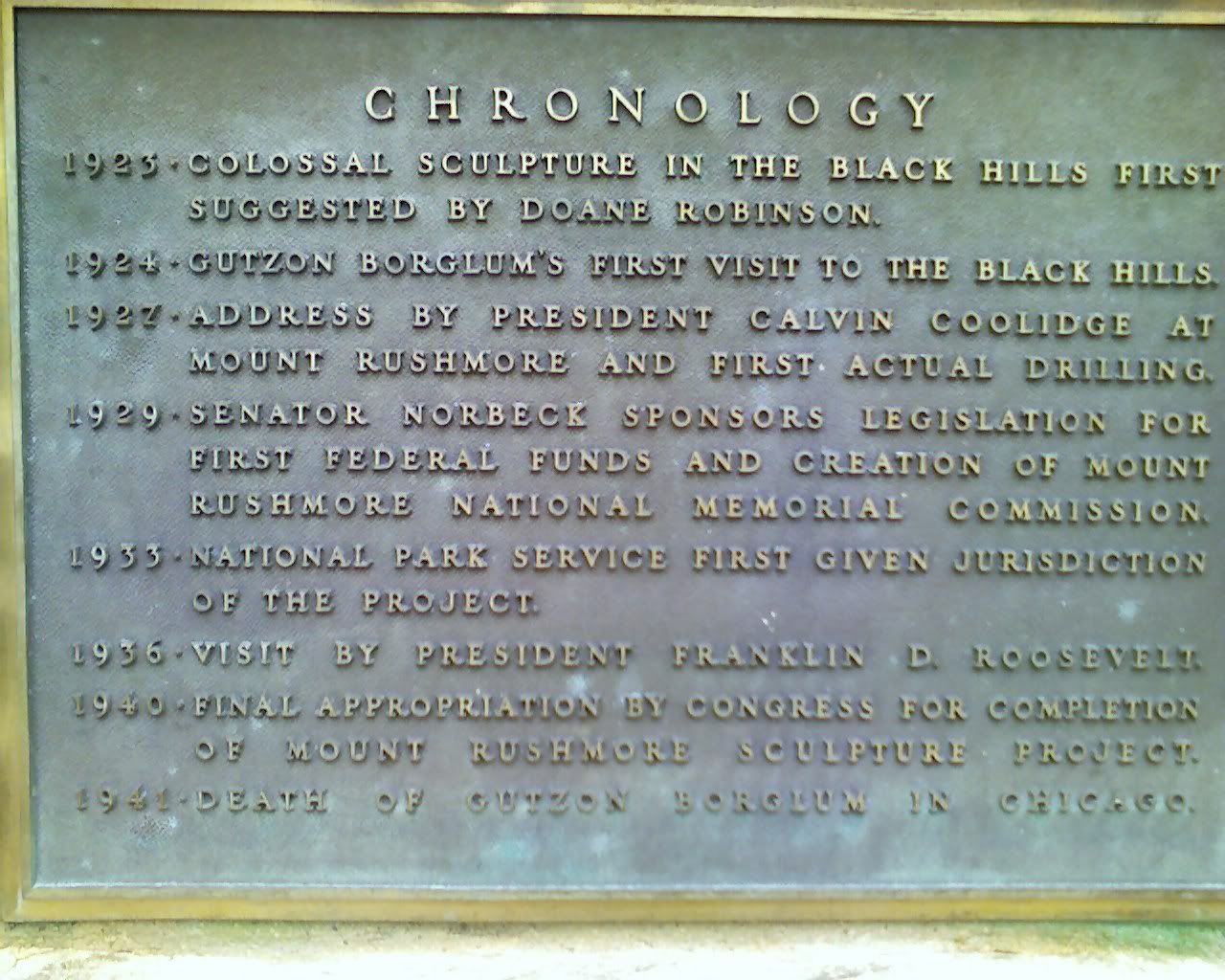
Nice bit of history... notice the date of completion.
Photo Sharing and Video Hosting at Photobucket

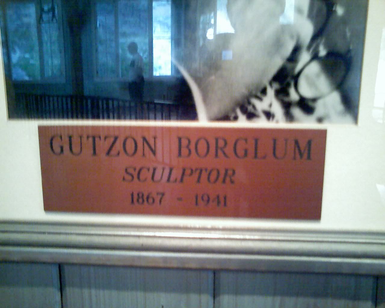
And notice the sculptor's year of death...
Photo Sharing and Video Hosting at Photobucket

Cool amphitheater.
Photo Sharing and Video Hosting at Photobucket

Photo Sharing and Video Hosting at Photobucket

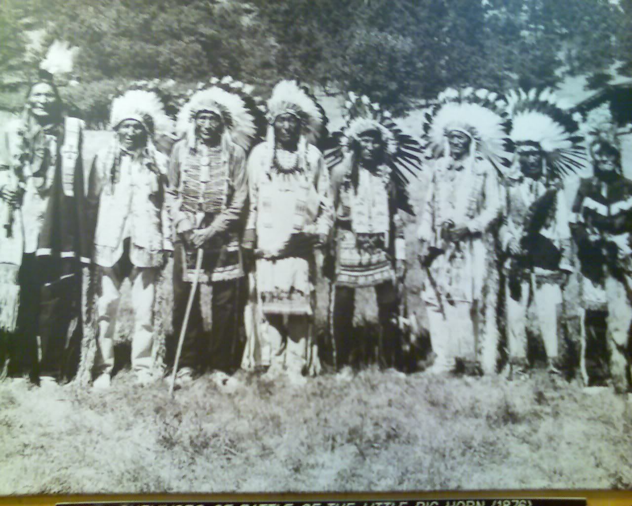
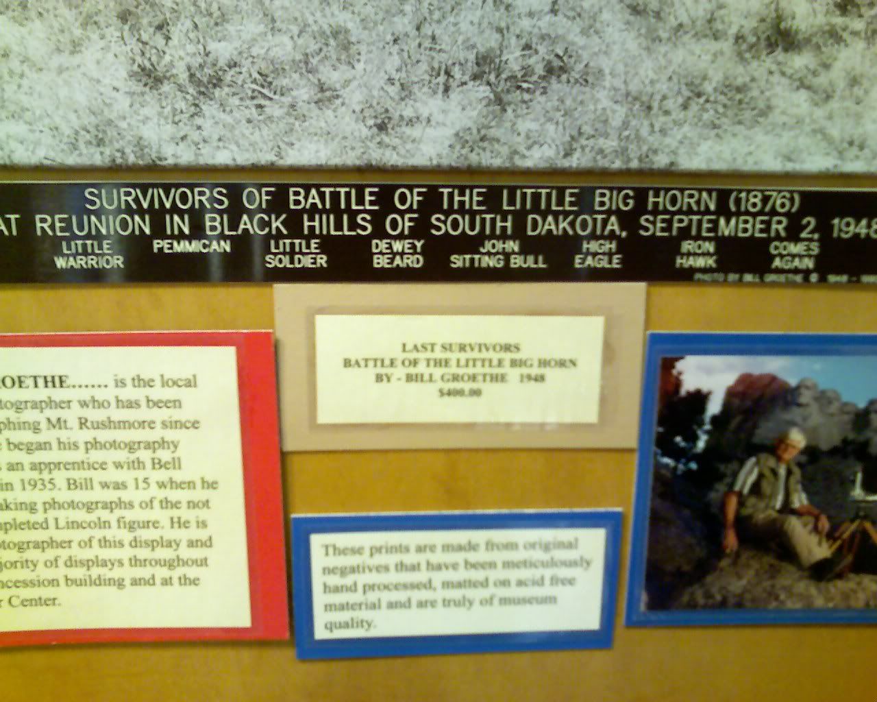
The battle of wounded knee happened somewhere close by, these pics in the gift shop.
Photo Sharing and Video Hosting at Photobucket

Photo Sharing and Video Hosting at Photobucket

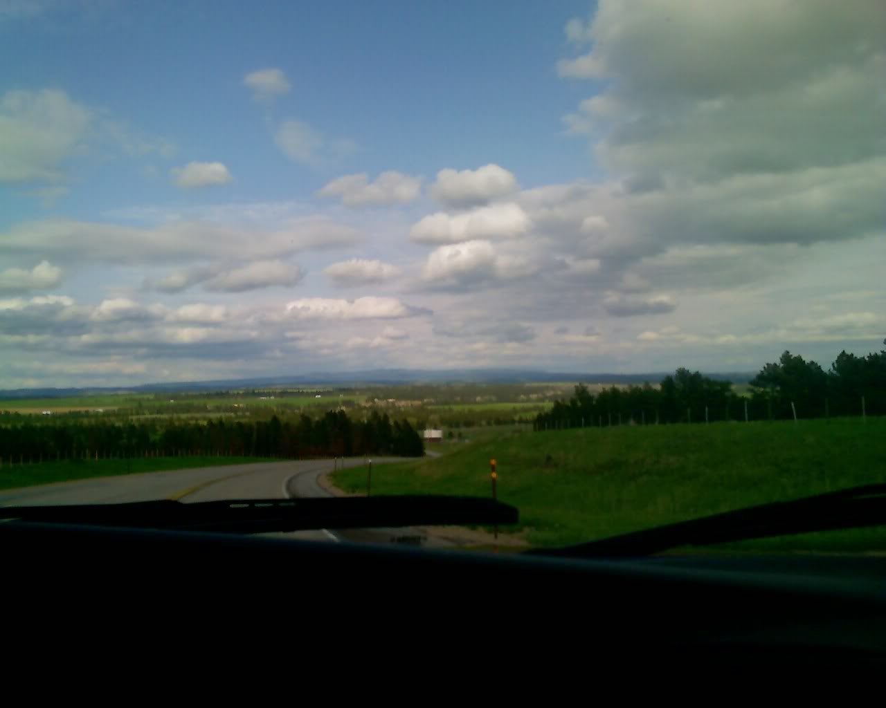
More views from the interstate, on the way to Devils Tower.
Photo Sharing and Video Hosting at Photobucket

Photo Sharing and Video Hosting at Photobucket

We turned out here to gaze for a bit and I called Mom and Dad.
Photo Sharing and Video Hosting at Photobucket

Photo Sharing and Video Hosting at Photobucket

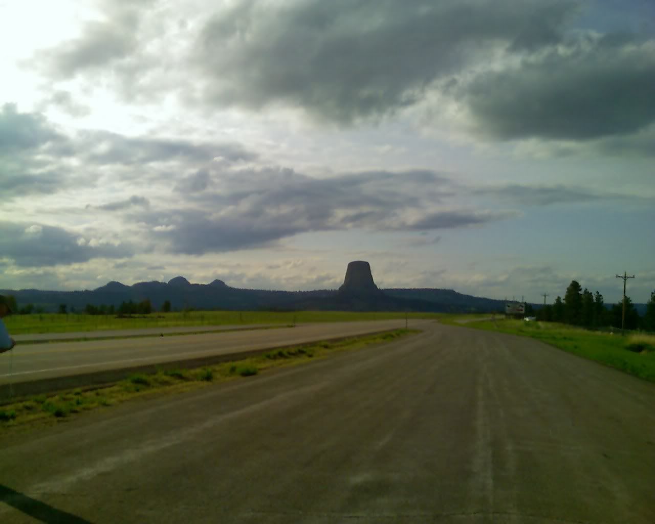
Unfortunately most of the tower pics are on Dave's camera for which we don't have a card reader yet... and I forgot the camera phone... so minimal updates here. The tower was probably the sweetest stop so far. Very cool. Sacred ground to the indians they believe that the 'Mother Bear' left her claw marks along the sides of the rock formation. They leave colorful bags all over known as prayer cloths and pilgrimage here occasionally. They can be seen all over. The tower is known worldwide as a climbing spot -- and though holy ground, the indians share the monument. Climbers are asked not to climb during one month out of the year (I assume this is when most of the indians complete their religious rites).
Photo Sharing and Video Hosting at Photobucket

Photo Sharing and Video Hosting at Photobucket

Anyway, It's getting dark here now..... and we're sitting at the base of the tower, just outside a KOA campground, hijacking their wireless connection to bring you this update (tehe). So, on the road again.....

Sunday, May 13, 2007

Update from Panera in South Dakota

I found my data cable!! I packed it after all, it was just in an unexpected place :) So, be sure to read the last couple of updates b/c I've added pics and a bit more fluff... enjoy!

So, Nebraska and Western South Dakota was probably the most boring state EVER!! It's mostly farmland. The 'not so great' plains. Probably the most interesting thing about it was that the entire area is irrigated.... A great deal of the farmland was underwater, or at least had large channels of water surrounding each plot. Those areas that were dry had large, overhead, mobile sprinkler systems. Silos, silos, silos and more silos.... lots of harleys, full dressers, trikes and cruisers everywhere.

Flatness...
Photo Sharing and Video Hosting at Photobucket

I remember seeing an article in water ski magazine about people that would hook-up a tow-rope to the back of a pickup and tow a skier behind their trucks... totally doable out here, there's been water channels on either side of the road now for the last few hundred miles. Water Skiing anyone?
Photo Sharing and Video Hosting at Photobucket

It's kind-of hard to see, but that little rectangle sign on the top of the rest area sign says 'Wireless Internet'. Turns out that it's available at almost every rest stop in MO... guess that's some municipality deal where they ran high-speed lines down the interstates or something.

Another funny thing was that, in the middle of nowhere there would randomly be a Harley Davidson dealership, a Ford dealership, and an RV dealership.... and nothing else.

It would seem that everyone was right when they advised booking it across the midwest... boring! It's also funny that, occasionally it looks as though there's long trails of smoke rolling off into the air -- turns out that it's usually just a truck or some other vehicle rolling along a road bordering the irrigated areas along either side of the interstate.

More of the same...
Photo Sharing and Video Hosting at Photobucket

So this update comes to you from via Panera Bread in South Dakota. We crossed the border about an hour ago, and it was about food time when we came upon this little haven. MMMMM coffee and sammiches!

Unfortunately we're closing the place down -- turns out they close at 8 here... oops. Oh well, the door was open. Anyway, we're off again. More updates when I can.

Headed for Rushmore

We're going to head for Mt. Rushmore today, may not quite get there as it's about 980 miles from here, but we're headed that way. Haven't checked the trailer yet to see if everything is still where we left it, but I believe it'll be ok. Again, I hope that we'll be camping mostly from here forward, so updates may be a bit sparse (unless we find a nice coffee shop or other place from which to hijack a wireless connection)

Happy Mother's Day


Don't forget to call yours!

I'm on the way!

**Edit, updated w/ pics**

I had hoped to update everyone sometime last night with a 'last night in Johnson City' entry... but the computer's were packed before I had a chance, and by the time we finished loading all my stuff into the truck it was nearly 3:30 in the morning. I had planned to have a great deal more done earlier, but there were so many interruptions through the day that things didn't quite get done as quickly as I had anticipated. Nathan, Mitch and Jacob all came by to see and sign the picture... and I was just moving too slowly to get done at a reasonable hour. Jacob and I had missed each other all week. He came by yesterday before work and brought a first aid kit, along with a good length of rope (just in case). Thankfully, that evening Steph and Kendra came over to help pack and keep me company and were able to motivate :) The packing process ran so late that Jacob came back over after finishing work and we re-packed the truck once more b/c everything didn't quite fit on the first few attempts. So, BIG thanks to Jacob, Stephanie and Kendra for everything that they did for me yesterday.

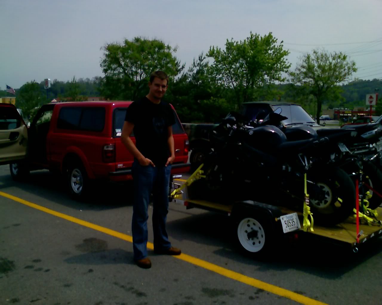
Just before leaving, final check of the trailer.
Photo Sharing and Video Hosting at Photobucket

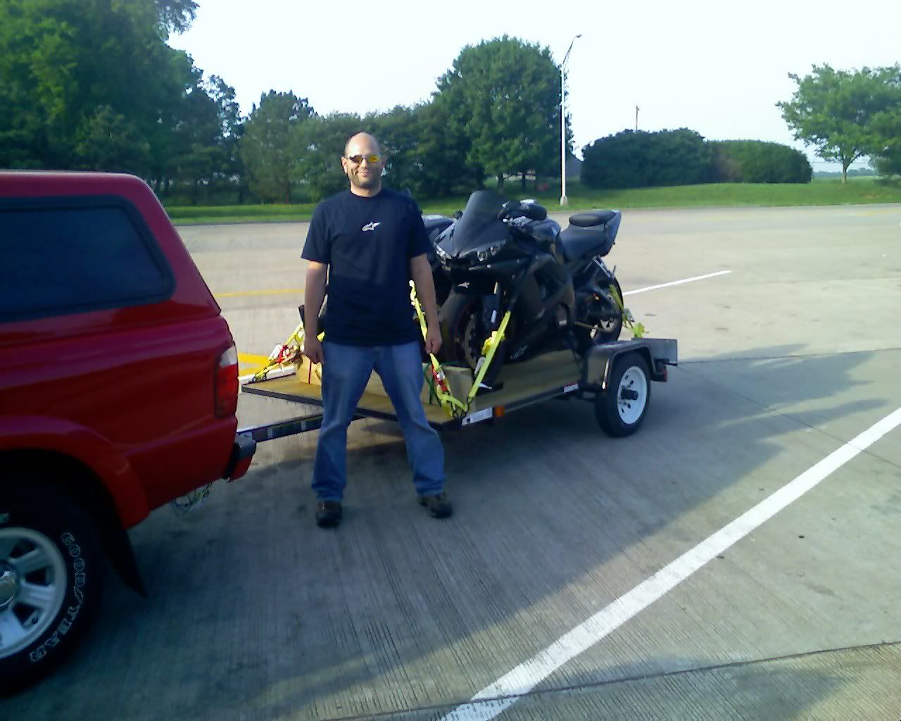
Dave, cheesin' a bit.
Photo Sharing and Video Hosting at Photobucket

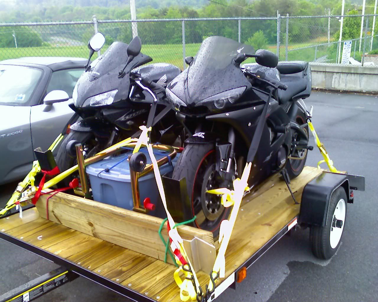
Loaded down!!
Photo Sharing and Video Hosting at Photobucket

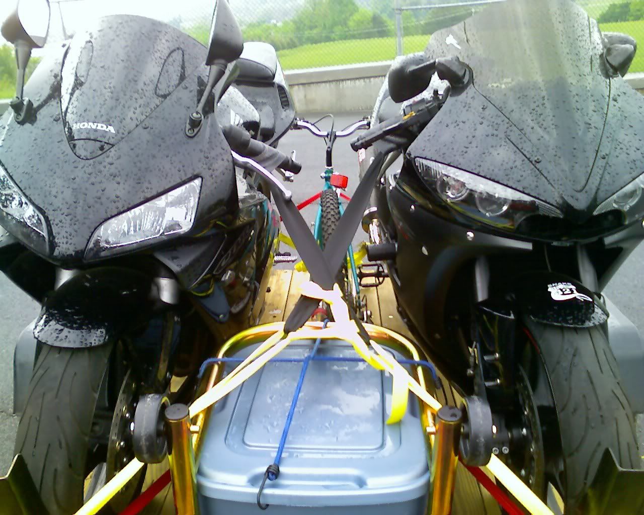
Bikes!!
Photo Sharing and Video Hosting at Photobucket

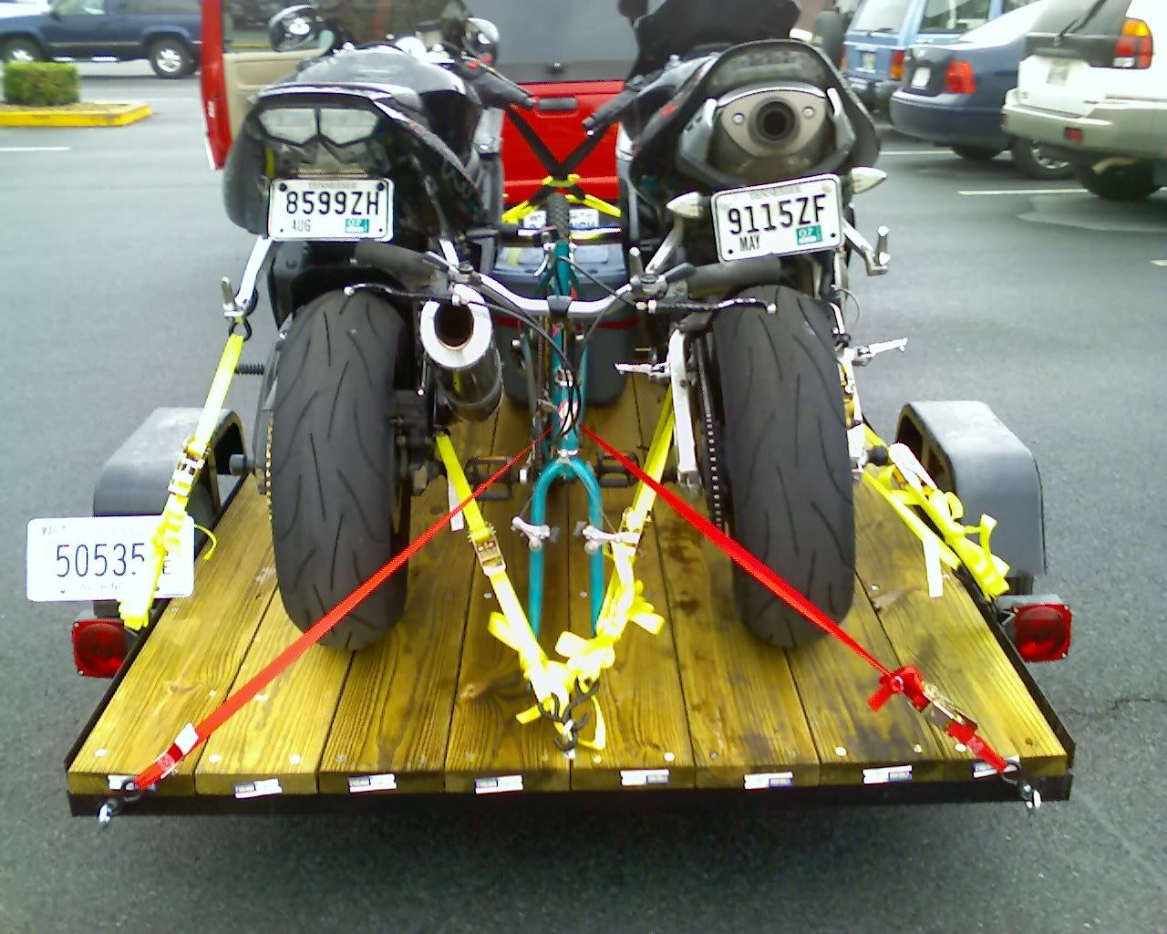
Strapped in pretty good...
Photo Sharing and Video Hosting at Photobucket

Navigator, good to have... MS Streets and Trips :)
Photo Sharing and Video Hosting at Photobucket

Finally on the road


Well, we didn't quite make it as far as we originally planned today... as expected, given the late packing completion, we got a later start than originally planned and didn't actually get onto the interstate until around 12ish, but we did make it to St. Louis. We stopped at the arch, briefly, but couldn't find a decent place to park. Turns out that the RV/Trailer parking was in a 'shady' section of riverfront in where neither of us felt very comfortable leaving the bikes and truck, so... we got a close-up of the arch from the truck and made our way onto I70 headed toward Kansas City.

The trip to this point was relatively uneventful... with only two minor exceptions.

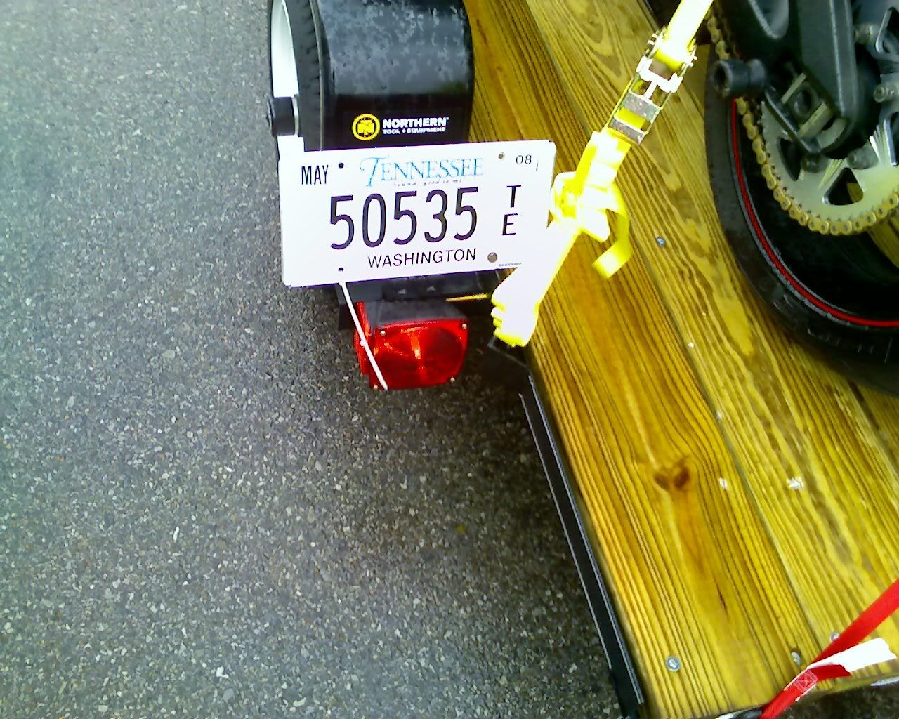
1. I knew we were going to have problems with the damned license plate bracket. When I moved the trailer from my Uncle Ken's house to the apartment the tag drug the ground, bending it pretty good, and Just outside of Knoxville one of the bolts that held the plate in place came lose.. leaving it flapping in the wind for who knows how long, until I checked the trailer in the mirror and saw it. Of course it was raining, and there wasn't much room on the interstate shoulder, but I was thankfully bright enough to put my toolbox in a very accessible place and was able to find a zip tie and a lockwasher (for the nut/bolt that remained) to secure the plate.

Small tag modification... turned the bracket around b/c it was dragging (but the bolts didn't hold.
Photo Sharing and Video Hosting at Photobucket

2. I'll try to describe this well, because it was very surreal for me. I had just answered a welcome call from my father, who was checking to see that we were on our way, and when I look back up at the road (brief glance to get my phone from it's resting place) I see one of those large, plastic playground sets, cartwheeling through the air toward us at high-speed!! Some nut in a pickup a few car-lengths ahead of us had this thing in the bed of his or her pickup, but didn't secure it properly and it was lofted some 10 or more feet into the air, landing only a car-length or so in front of the truck... now I'm not quite sure what the conversation sounded like on the other end of the phone, but I think I cursed once or twice as I started to think about where to swerve, how NOT to swerve too much, and how to avoid the heavy plastic playground that had managed to find its way into my path. As it fell, it broke into two pieces, the larger fell in the lane, just to the right of the dotted-white divider, the other part fell just over the other white line, a quick swerve to the right found just enough room for the truck and trailer... then I saw the truck leave the road, attempting to stop to pickup the pieces. Sadly the folks behind us had even less reaction time than I did, and there were SEVERAL near misses... a minivan, followed by an 18 wheeler... the van got by just fine, but the truck .. scared me a bit as it swerved b/c the trailer looked as though it would tip from the driver's reaction to the obstacle in the road.

Thankfully it seemed, at least from what I was able to see in the rearview as we put some distance on the playground that everyone was ok.

Our first stop for food, Cracker Barrel... breakfast is always good!
Photo Sharing and Video Hosting at Photobucket

Me outside the Cracker Barrel.
Photo Sharing and Video Hosting at Photobucket

So.. Dave and I have had this recurring theme that there is no originality in 'place' names across the US... have a look at this exit sign.
Photo Sharing and Video Hosting at Photobucket

While it was a bit of a let-down not stopping at riverfront park and riding up in the arch, it was dark, and more than likely, because it was after 10pm, we wouldn't have been able to see the inside anyway. So, we pushed on and stopped just outside St. Louis, stopping at a particularly shady Motel 6 (It says something when there's a police substation is located inside the motel).... We walk to the room, passing some 'sweet' smelling bedroms, sensimilia aroma... haven't smelled that in quite a while.... we also realize that there's no way to move the truck to anywhere w/in view of the room... So, 3 chains w/ 2 master locks through the bike's swingarms... hopefully that'll deter any casual theives.

I also realized that I don't have a data cable for my phone, which unfortunately means that all the pics we took today will have to wait until I can spot a place to pick one up. So, you poor folks will be stuck w/ only my ramblings until then! I promise I'll update with pics as soon as I can..... also, we're in a hotel tonight, but will most likely be camping for the next couple of days... so there may not be any updates for a bit....

until next time!

P.S. Did I ever mention how much I HATE snoring? Totally grotesque noise -- usually fairly loud. Unfortunately I've always been a very light sleeper -- which makes it very difficult to get any sleep when my roomate does the whole snoring thing .. breathe right strips anyone? I think a grocery/drug store trip may be in order :)

Although, from what I understand, Dave's snoring doesn't hold a candle to Nathan.. LOL. That was a really fun trip!